Bonnet Peak, Banff National Park

Map
Facts and practical information
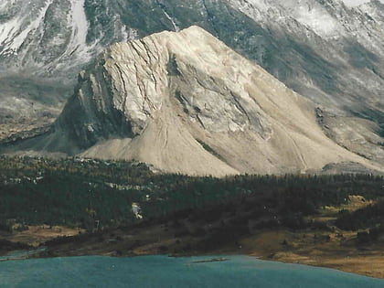
Bonnet Peak is a massif consisting of three separate peaks. It is near the source of Johnston Creek although its southern and eastern slopes drain into the Cascade River. Named in 1890 due to its appearance with a cap of snow. It is located in the Sawback Range of Alberta. ()
First ascent: 1914Elevation: 10614 ftProminence: 1296 ftCoordinates: 51°26'3"N, 115°53'6"W
Address
Banff National Park
ContactAdd
Social media
Add
Day trips
Bonnet Peak – popular in the area (distance from the attraction)
Nearby attractions include: Lychnis Mountain, Tilted Mountain, Mount St. Bride, Block Mountain.


