Pulsatilla Pass, Banff National Park

Gallery (1)
Map
Map
Facts and practical information
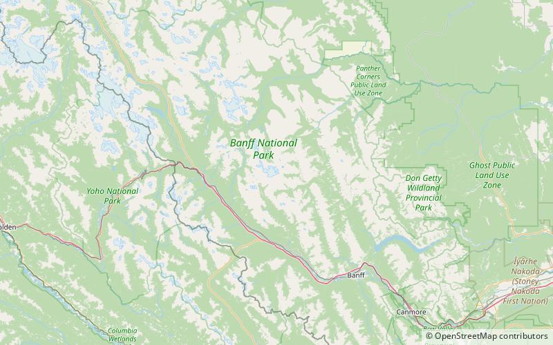
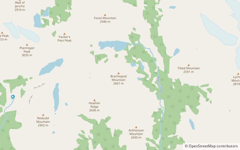
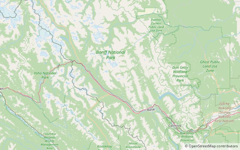
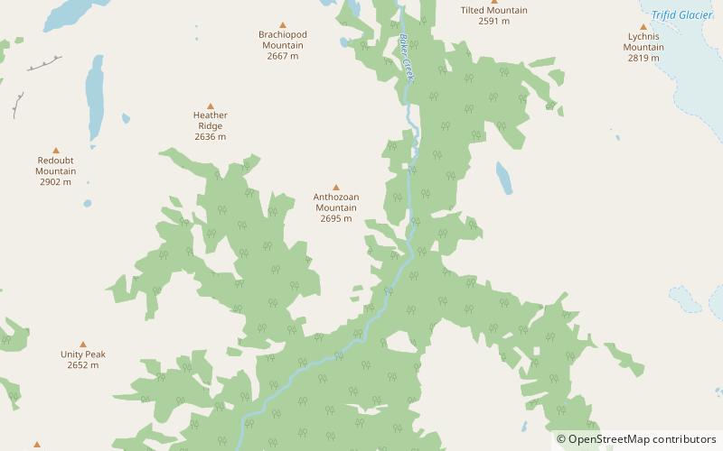
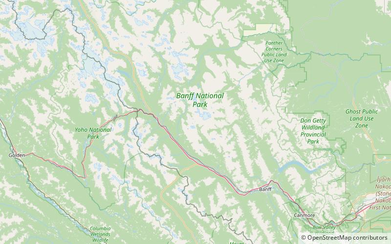
Pulsatilla Pass Is a pass located in Banff National Park. As the sources for both Johnston Creek, and Wildflower Creek it is located near the Sawback Range between Johnston Canyon and Lake Louise, Alberta. ()
Maximum elevation: 7749 ftCoordinates: 51°24'50"N, 115°57'40"W
Day trips