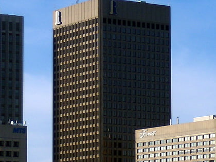
Portage and Main, Winnipeg
Map
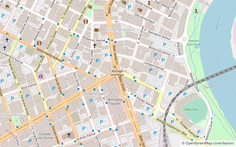
Map

Facts and practical information
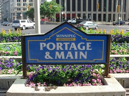
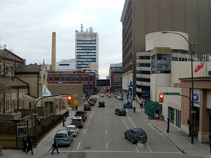
Portage and Main is an intersection in downtown Winnipeg, Manitoba, Canada, located where Portage Avenue and Main Street intersect. The corner is known as the "crossroads of Canada", due to its relative proximity to the longitudinal centre of Canada. ()
Opened: 2 June 1862 (163 years ago)Coordinates: 49°53'44"N, 97°8'18"W
Address
Central Winnipeg (Downtown Winnipeg)Winnipeg
ContactAdd
Social media
Add
Day trips
Portage and Main – popular in the area (distance from the attraction)
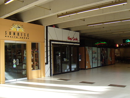
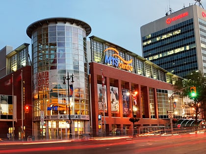
Nearby attractions include: Winnipeg Square, Canada Life Centre, Cityplace, Shaw Park.
Frequently Asked Questions (FAQ)
Which popular attractions are close to Portage and Main?
Nearby attractions include 201 Portage, Winnipeg (2 min walk), Richardson Building, Winnipeg (2 min walk), Downtown Winnipeg, Winnipeg (3 min walk), 360 Main, Winnipeg (3 min walk).
How to get to Portage and Main by public transport?
The nearest stations to Portage and Main:
Bus
Train
Bus
- Westbound Portage at Main • Lines: 10, 38, 43, 50, 56 (2 min walk)
- Eastbound Portage at Main • Lines: 10, 43, 50, 56 (2 min walk)
Train
- Winnipeg (13 min walk)
