Downtown Calgary, Calgary
Map
Gallery
Facts and practical information
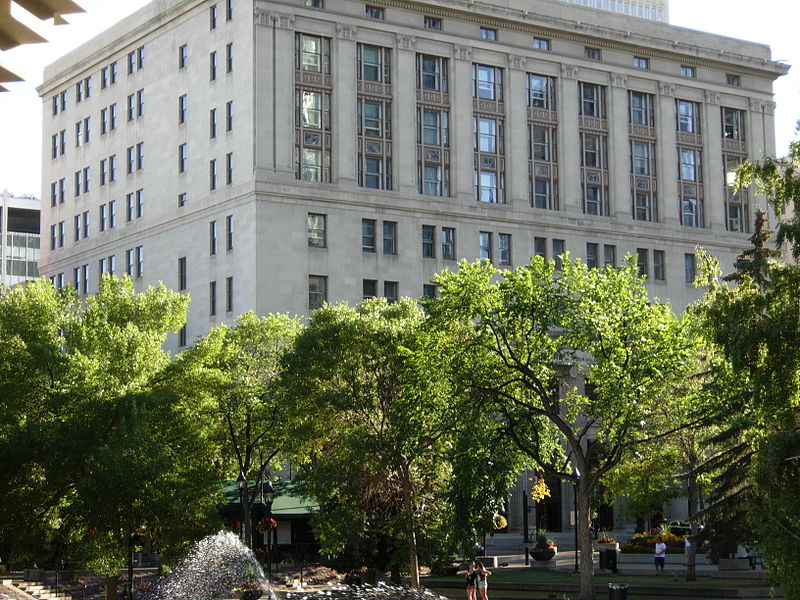
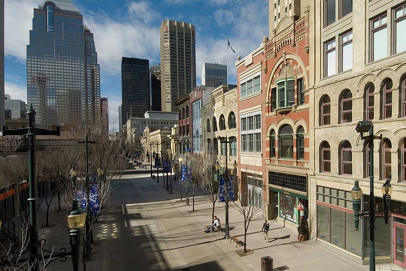
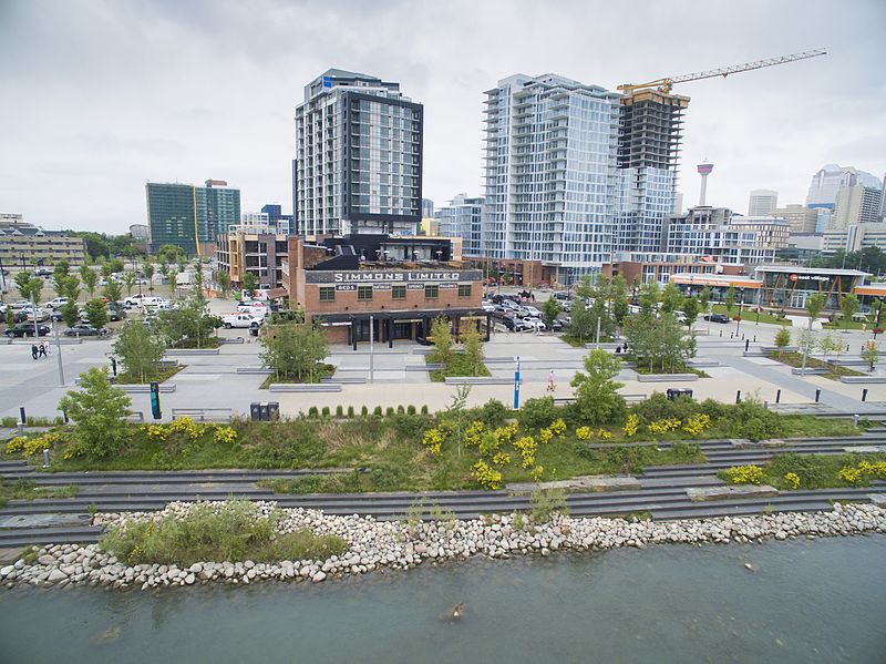
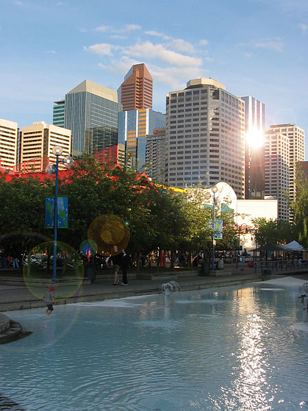
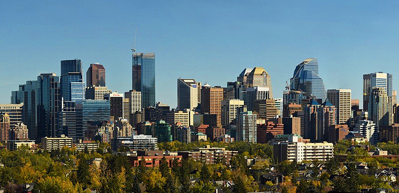
Downtown Calgary is a dense urban district in central Calgary, Alberta. It contains the second largest concentration of head offices in Canada, despite only being the country's fourth largest city in terms of population. The downtown is divided into several residential, commercial, corporate, and mixed-use neighbourhoods, including the Financial District, Eau Claire, Chinatown, East Village, Beltline, and the West End. ()
Established: 1875 (151 years ago)Area: 0.69 mi²Coordinates: 51°2'51"N, 114°4'1"W
Day trips
Downtown Calgary – popular in the area (distance from the attraction)
Nearby attractions include: Calgary Tower, The Core Shopping Centre, Suncor Energy Centre, Bankers Hall.
Frequently Asked Questions (FAQ)
Which popular attractions are close to Downtown Calgary?
Nearby attractions include Bow Valley Square, Calgary (2 min walk), Stephen Avenue Walk, Calgary (2 min walk), The Grand, Calgary (3 min walk), Dome Tower, Calgary (3 min walk).
How to get to Downtown Calgary by public transport?
The nearest stations to Downtown Calgary:
Bus
Light rail
Train
Bus
- 7 Avenue & 2 Street SW • Lines: 1, 30, 305, 69 (2 min walk)
- 1 Street & 6 Avenue SW • Lines: 10, 13, 449 (2 min walk)
Light rail
- 3 Street Southwest • Lines: 201, 202 (3 min walk)
- 1 Street Southwest • Lines: 201, 202 (4 min walk)
Train
- Calgary (6 min walk)


