Eau Claire, Calgary
Map

Gallery

Facts and practical information
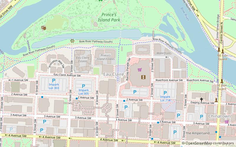
The neighbourhood of Eau Claire in Calgary, Alberta, Canada is located immediately north of Downtown, and south of the Bow River and north of 4th Avenue. A mix of riverside condominiums, shopping, restaurants, hotels, a large public plaza and urban parkland make Eau Claire one of Calgary's most popular areas. Contained within Eau Claire is the city's Festival District. ()
Established: 1885 (141 years ago)Area: 98.84 acres (0.1544 mi²)Coordinates: 51°3'9"N, 114°4'12"W
Day trips
Eau Claire – popular in the area (distance from the attraction)
Nearby attractions include: The Core Shopping Centre, Prince's Island Park, Suncor Energy Centre, Bankers Hall.
Frequently Asked Questions (FAQ)
Which popular attractions are close to Eau Claire?
Nearby attractions include Canterra Tower, Calgary (3 min walk), Centennial Place, Calgary (5 min walk), Calgary-Buffalo, Calgary (5 min walk), Prince's Island Park, Calgary (5 min walk).
How to get to Eau Claire by public transport?
The nearest stations to Eau Claire:
Bus
Light rail
Train
Bus
- 2 Avenue & 3 Street SW • Lines: 449 (3 min walk)
- 3 Avenue & 2 Street SW • Lines: 449 (6 min walk)
Light rail
- 3 Street Southwest • Lines: 201, 202 (11 min walk)
- 4 Street Southwest • Lines: 201, 202 (11 min walk)
Train
- Calgary (16 min walk)


