Swing bridge, Vancouver
Facts and practical information
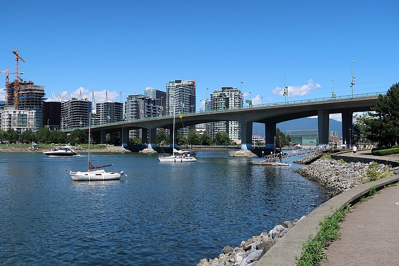
The Swing Bridge in Vancouver, Canada, stands as a testament to the city's industrial heritage and its relationship with the bustling maritime activity of the Fraser River. This pivotal structure is not just a bridge but a moving monument that accommodates the passage of vessels with its unique swinging mechanism.
Constructed to provide a necessary link between various parts of the city while also allowing river traffic to flow unimpeded, the Swing Bridge represents an impressive feat of engineering. The bridge operates by pivoting around a central axis, swinging open to create a clear channel for ships and then closing to reconnect the roadways for vehicular and pedestrian traffic.
The bridge's design is a combination of functionality and aesthetic simplicity, with its sturdy steel framework providing both strength and flexibility. The Swing Bridge is an essential part of Vancouver's transportation infrastructure, facilitating the seamless movement of goods and people across the river.
While the bridge primarily serves a utilitarian purpose, it also offers a unique spectacle for onlookers when it swings into action. The mechanical ballet of gears and levers in motion provides a glimpse into the area's industrial past, and the bridge itself has become a point of interest for those fascinated by the mechanics of large moving structures.
Open to traffic throughout the year, the Swing Bridge is a vital artery in Vancouver's road network. It stands as a symbol of the city's commitment to maintaining harmony between its urban landscape and the natural waterways that have shaped its history and economy.
Swing bridge – popular in the area (distance from the attraction)
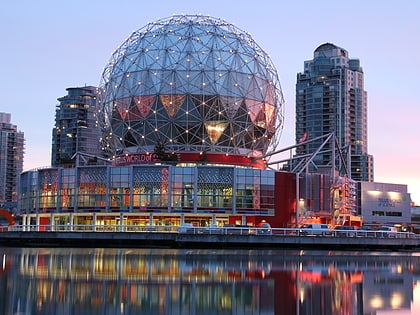
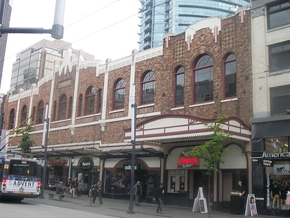
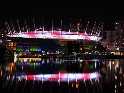
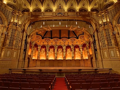
Nearby attractions include: Science World, Commodore Ballroom, Rogers Arena, BC Place.
Frequently Asked Questions (FAQ)
Which popular attractions are close to Swing bridge?
How to get to Swing bridge by public transport?
Ferry
- Spyglass Dock • Lines: Aquabus (2 min walk)
- Yaletown Dock • Lines: Aquabus, False Creek Ferries Route 3 (4 min walk)
Bus
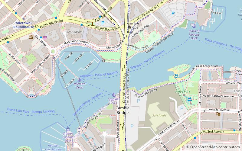
- Pacific Blvd at Marinaside Cres • Lines: 23 (5 min walk)
- Expo Blvd at Nelson St • Lines: 23 (6 min walk)
Trolleybus
- Pacific Boulevard at Cambie Street • Lines: 6 (8 min walk)
- Smithe St at Expo Blvd • Lines: 17 (8 min walk)
Metro
- Yaletown-Roundhouse • Lines: Canada Line (9 min walk)
- Olympic Village • Lines: Canada Line (10 min walk)
Train
- Vancouver Pacific Central (20 min walk)
- Waterfront (26 min walk)

 SkyTrain