Hinge Park, Vancouver
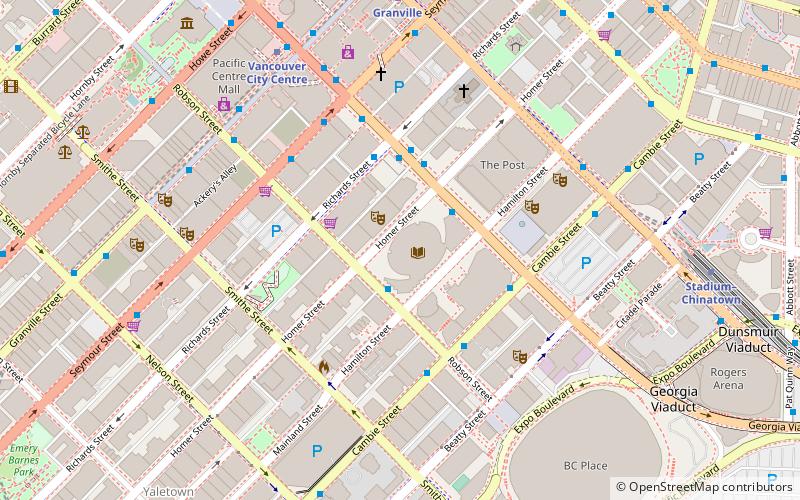
Map
Gallery
Facts and practical information
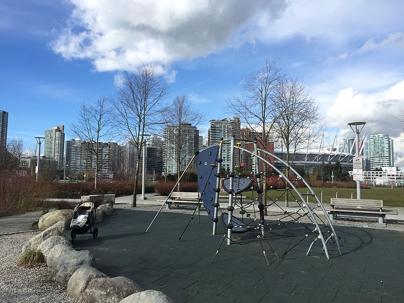
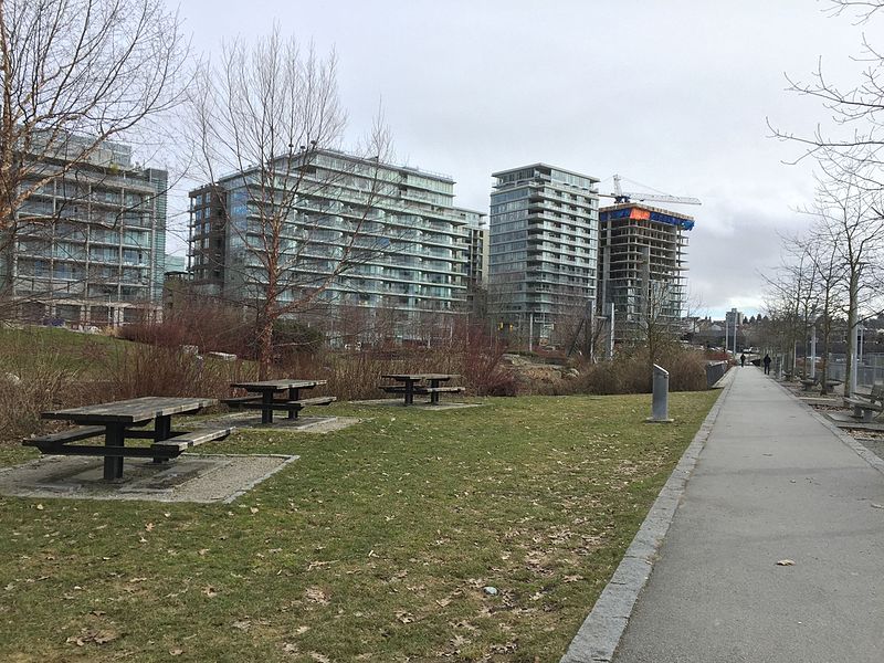
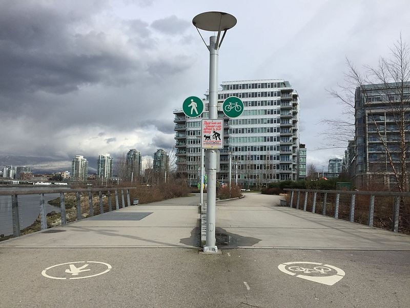
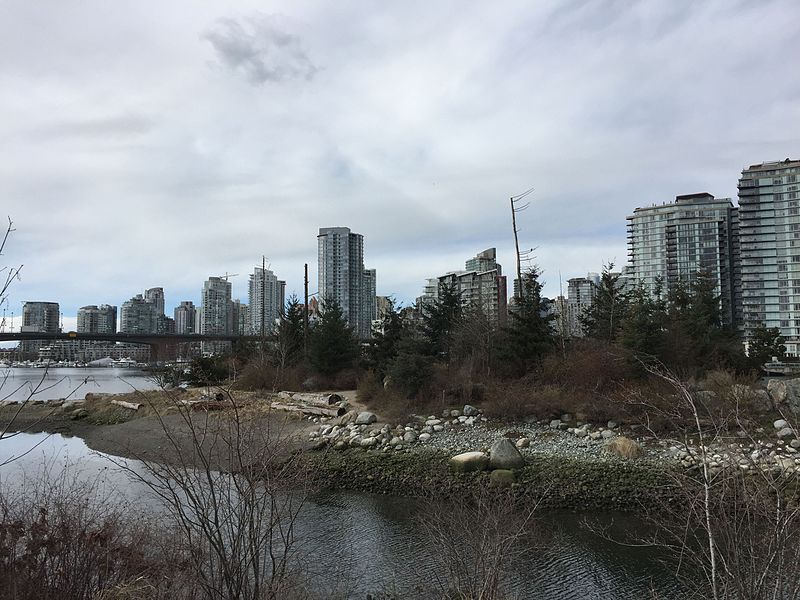
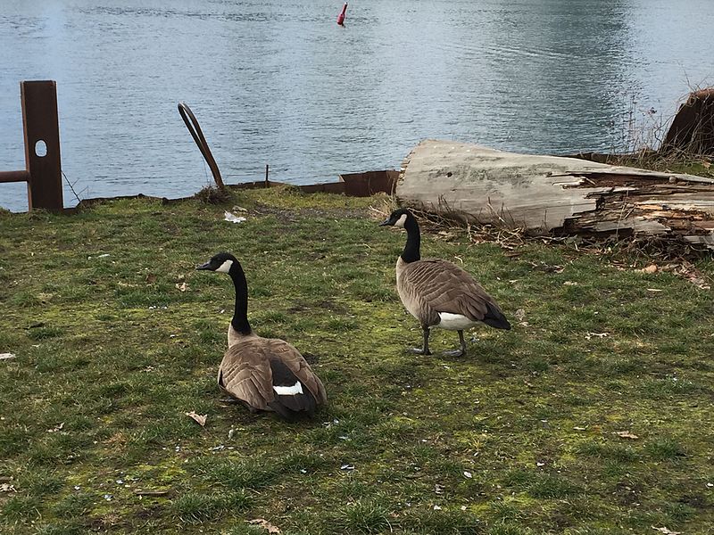
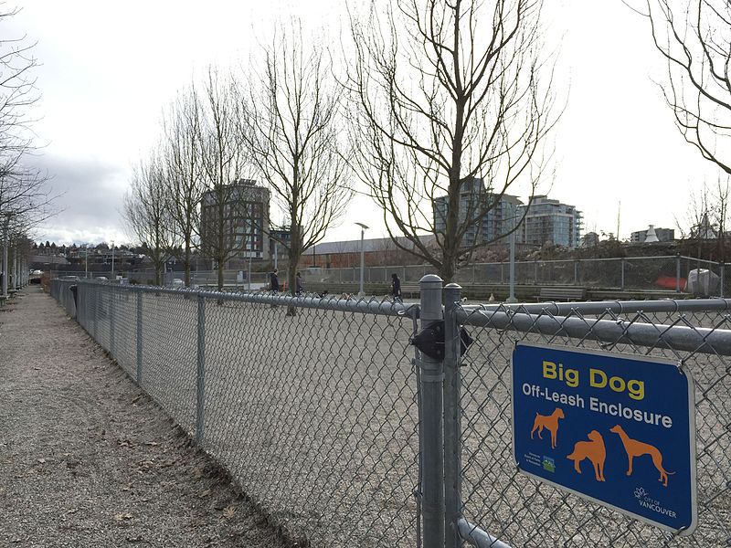
Hinge Park is a naturalized wetland park in the city of Vancouver, British Columbia. Hinge Park covers 2.3 acres and also connects to Habitat Island which covers around 1.5 acres. The park includes a trail in Habitat Island, a walking/biking trail along the shoreline of False Creek, public art installations, picnic tables, benches, docks, a children's play area, a bridge constructed from sewer pipe, a water pump with metal runnels at the top of a small hill, and the Olympic Village dog park. ()
Established: 2009 (17 years ago)Elevation: 16 ft a.s.l.Coordinates: 49°16'16"N, 123°6'36"W
Day trips
Hinge Park – popular in the area (distance from the attraction)
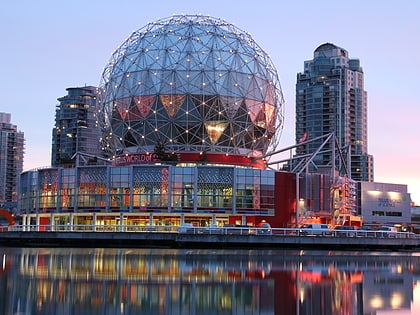
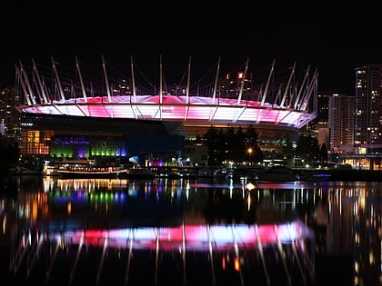
Nearby attractions include: Science World, Rogers Arena, BC Place, Dr. Sun Yat-Sen Classical Chinese Garden.
Frequently Asked Questions (FAQ)
Which popular attractions are close to Hinge Park?
Nearby attractions include Portobello West, Vancouver (6 min walk), Cambie Bridge, Vancouver (6 min walk), Swing bridge, Vancouver (6 min walk), Plaza of Nations, Vancouver (7 min walk).
How to get to Hinge Park by public transport?
The nearest stations to Hinge Park:
Bus
Ferry
Metro
Trolleybus
Train
Bus
- West 2nd Ave at Columbia St • Lines: 84 (4 min walk)
- Pacific Blvd at Marinaside Cres • Lines: 23 (8 min walk)
Ferry
- Plaza of Nations Dock • Lines: Aquabus, False Creek Ferries Route 3 (6 min walk)
- Village Dock • Lines: Aquabus, False Creek Ferries Route 3 (6 min walk)
Metro
- Olympic Village • Lines: Canada Line (11 min walk)
- Main Street-Science World • Lines: Expo Line (12 min walk)
Trolleybus
- Smithe St at Expo Blvd • Lines: 17 (11 min walk)
- Main Street at Switchmen Street • Lines: 19, 3, 8 (11 min walk)
Train
- Vancouver Pacific Central (15 min walk)
- Waterfront (26 min walk)



 SkyTrain