Mount McArthur, Yoho National Park
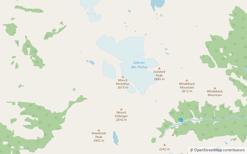
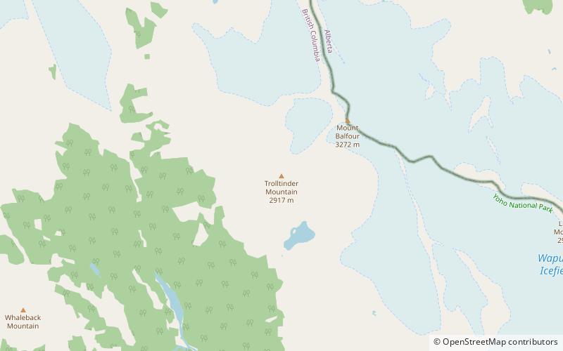
Map
Facts and practical information
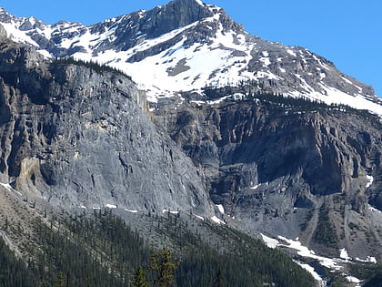
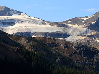
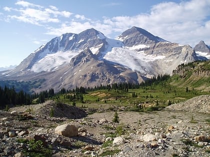
Mount McArthur is a mountain located in Yoho National Park, British Columbia, Canada. It was named in 1886 by Otto Koltz after James J. McArthur, a land surveyor who mapped the Canadian Rockies for the Canadian Pacific Railway. ()
First ascent: 1891Elevation: 9911 ftProminence: 725 ftCoordinates: 51°32'26"N, 116°35'46"W
Address
Yoho National Park
ContactAdd
Social media
Add
Day trips
Mount McArthur – popular in the area (distance from the attraction)
Nearby attractions include: Takakkaw Falls, Stanley Mitchell hut, Mount Carnarvon, Michael Peak.

