Michael Peak, Yoho National Park

Gallery (3)
Map
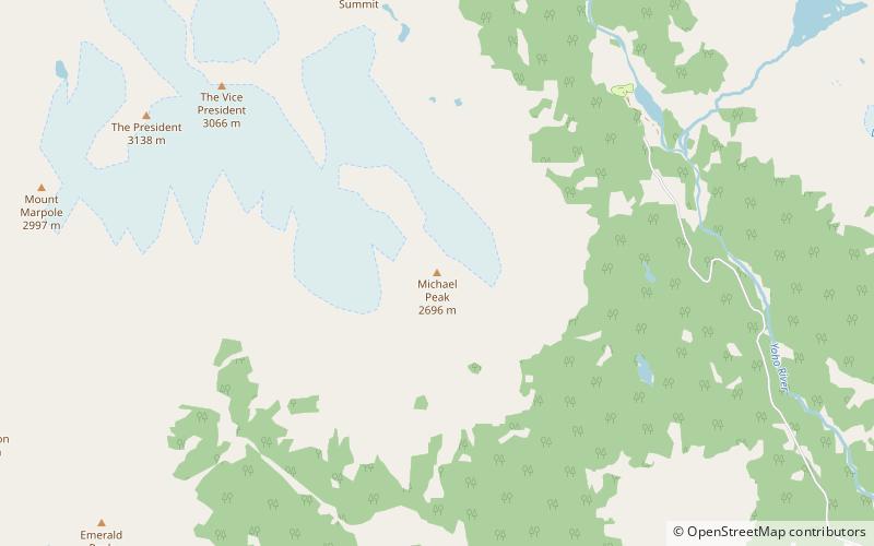
Map
Gallery
Facts and practical information
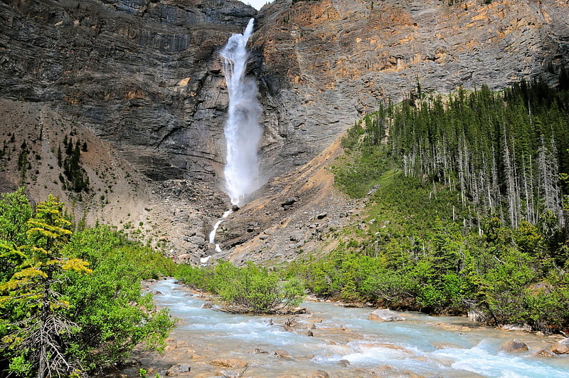
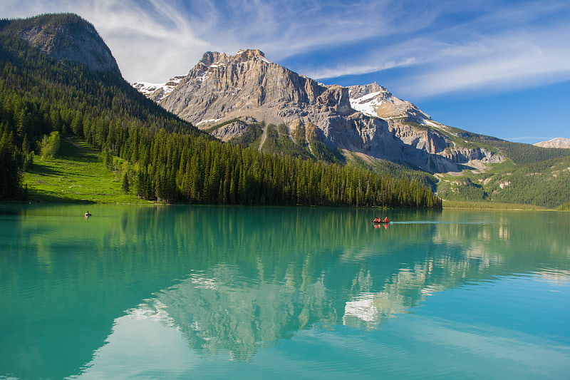
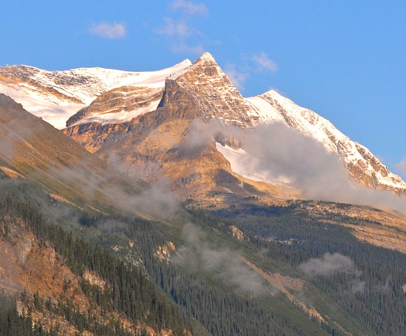
Michael Peak is a 2,701-metre mountain summit located in Yoho National Park, in the Canadian Rockies of British Columbia, Canada. Its nearest higher peak is The President, 4.0 km to the west-northwest. Both are part of the President Range which is a subset of the Waputik Mountains. Michael Peak is a landmark seen 4.5 kilometres north-northeast of Emerald Lake, three kilometres southwest of Takakkaw Falls, and 10 kilometres north of Field, British Columbia. ()
Coordinates: 51°29'3"N, 116°31'3"W
Address
Yoho National Park
ContactAdd
Social media
Add
Day trips