Marie Curtis Park, Toronto
Map
Gallery
Facts and practical information
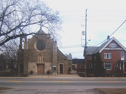
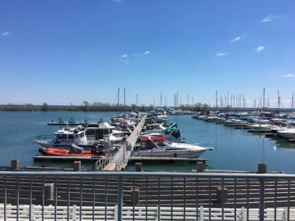
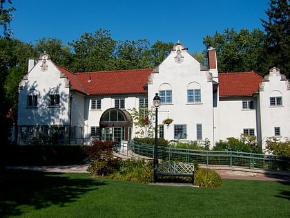
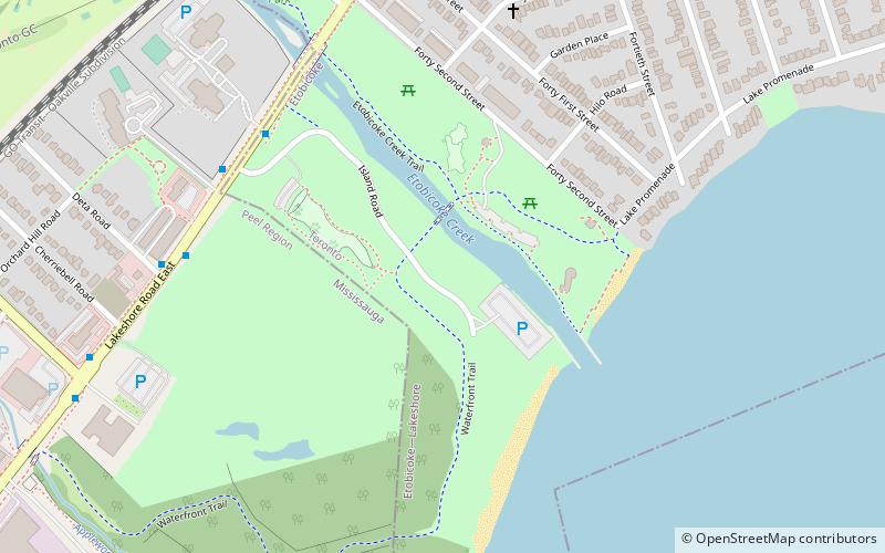
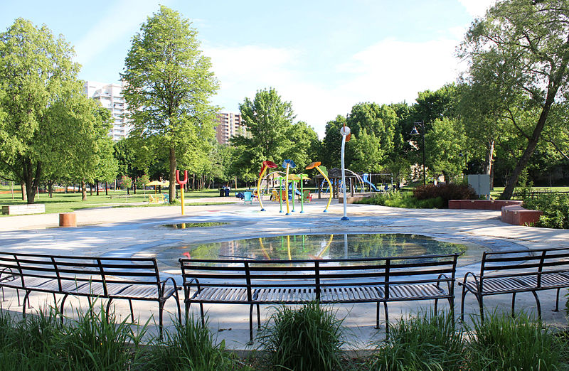
Marie Curtis Park is a public park in Toronto, Ontario, Canada. It is located at the mouth of the Etobicoke Creek on Lake Ontario in the Long Branch neighbourhood. Marie Curtis Park was built after the devastating floods of Hurricane Hazel in 1954 destroyed 56 homes and cottages on the site, leaving 1,868 persons homeless and 81 dead. It is named after Marie Curtis, the reeve of Long Branch at the time of its construction. Long Branch at the time was a separate village; it's now amalgamated into the City of Toronto government. ()
Created: 1959Elevation: 256 ft a.s.l.Coordinates: 43°35'9"N, 79°32'38"W
Day trips
Marie Curtis Park – popular in the area (distance from the attraction)
Nearby attractions include: Dixie Outlet Mall, Toronto Golf Club, Sherway Gardens, Honeydale Mall.
Frequently Asked Questions (FAQ)
How to get to Marie Curtis Park by public transport?
The nearest stations to Marie Curtis Park:
Tram
Train
Tram
- Long Branch Loop • Lines: 501, 501;301 (11 min walk)
- Thirty Seventh Street • Lines: 501, 501;301 (16 min walk)
Train
- Long Branch (12 min walk)

 Subway
 Streetcar system
 PATH
PATH


