Battle Island Light, Lake Superior National Marine Conservation Area

Gallery (1)
Map
Map
Facts and practical information
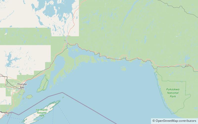
Battle Island Light is a lighthouse on the Canadian shore of Lake Superior. It is located on the westerly point of Battle Island, 28.5 miles east-northeast from Lamb Island Light. ()
Coordinates: 48°45'6"N, 87°33'26"W
Address
Lake Superior National Marine Conservation Area
ContactAdd
Social media
Add