Moose Cree First Nation, Moose Factory

Gallery (1)
Map
Map
Facts and practical information
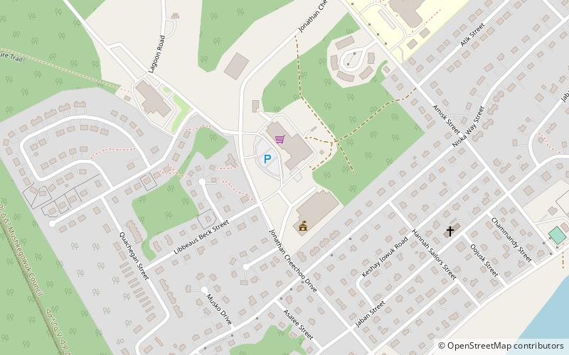
The Moose Cree First Nation is a Cree First Nation band government in northern Ontario, Canada. Their traditional territory is on the west side of James Bay. The nation has two reserves: Factory Island 1; and Moose Factory 68, a tract of land about 15 km upstream on the Moose River covering 168.82 square kilometres. ()
Coordinates: 51°15'43"N, 80°36'3"W
Address
Moose Factory
ContactAdd
Social media
Add
Day trips


