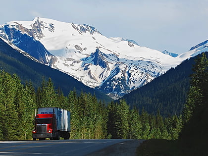
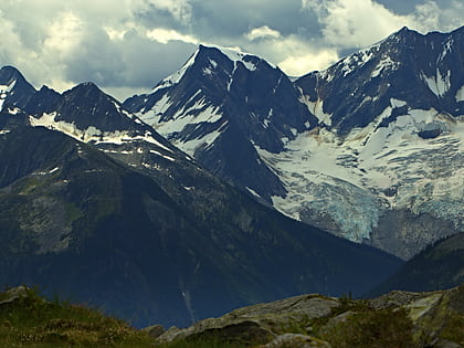
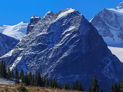
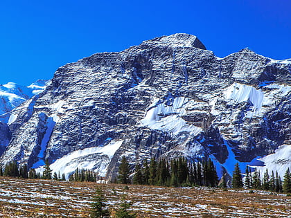
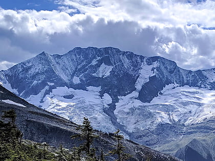
Dawson Range, Glacier National Park
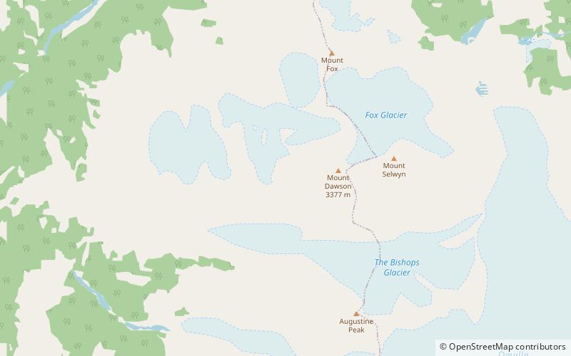
Map
Facts and practical information
The Dawson Range is a subrange of the Selkirk Mountains of the Columbia Mountains in southeastern British Columbia, Canada, located southeast of Rogers Pass in Glacier National Park. The highest point is Mount Dawson. ()
Area: 13.13 mi²Coordinates: 51°9'0"N, 117°25'59"W
Address
Glacier National Park
ContactAdd
Social media
Add
Day trips
Dawson Range – popular in the area (distance from the attraction)
Nearby attractions include: Youngs Peak, Mount Swanzy, Mount Topham, Mount Selwyn.
