Mount Dawson, Glacier National Park
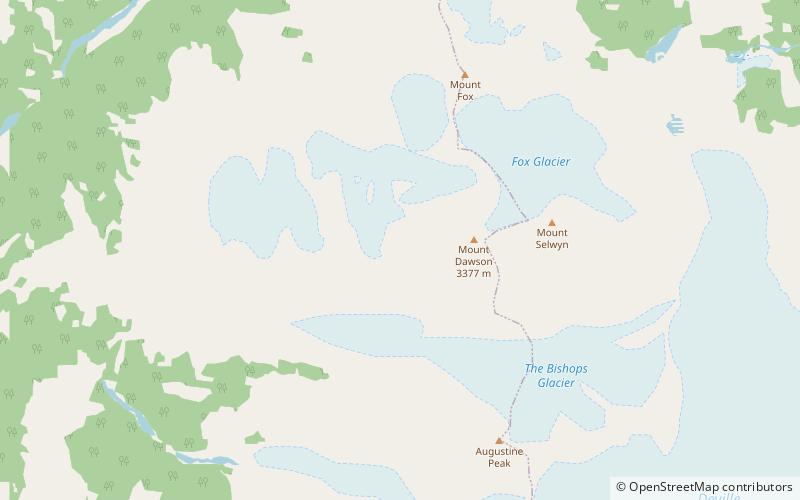
Map
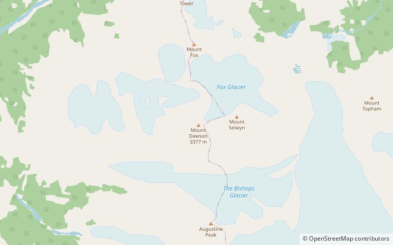
Map

Facts and practical information
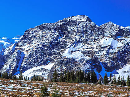
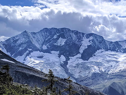
Mount Dawson, elevation 3,377 metres, is a massif in the Selkirk Mountains of British Columbia, Canada, located in Glacier National Park to the southeast of Rogers Pass. It is a double summit, the highest of which is Hasler Peak, the second peak being Feuz Peak, with Hasler Peak's elevation making it the highest summit in Glacier National Park and the second highest in the Selkirks. Mount Dawson is ranked as the 58th highest mountain in British Columbia. The Dawson Glacier is located on its eastern flank. ()
Alternative names: First ascent: 1899Elevation: 11079 ftProminence: 6709 ftCoordinates: 51°9'6"N, 117°25'16"W
Address
Glacier National Park
ContactAdd
Social media
Add
Day trips
Mount Dawson – popular in the area (distance from the attraction)
Nearby attractions include: Youngs Peak, Mount Swanzy, Mount Topham, Mount Selwyn.
Frequently Asked Questions (FAQ)
Which popular attractions are close to Mount Dawson?
Nearby attractions include Dawson Range, Glacier National Park (14 min walk), Mount Selwyn, Glacier National Park (16 min walk).

