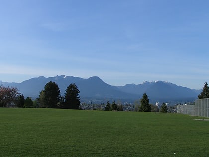
Hastings Park, Vancouver
Map
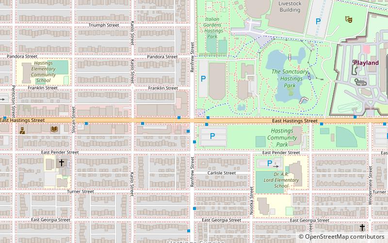
Map

Facts and practical information
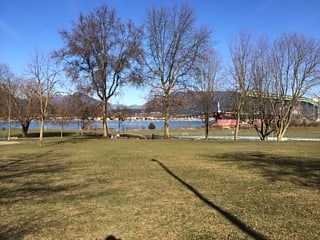
Hastings Park is located in the northeast sector of Vancouver, British Columbia, Canada, in a neighbourhood called Hastings-Sunrise. Its name references the Hastings Townsite, part of which was also known as New Brighton, which lay at the end of the Douglas Road from New Westminster, founded as a resort and watering-hole and as a port to connect the other settlements of the inlet—Gastown, Moodyville and Barnet—to the city. ()
Address
2901 East Hastings (@ Renfrew Street)Hastings-SunriseVancouver
Contact
Social media
Add
Day trips
Hastings Park – popular in the area (distance from the attraction)
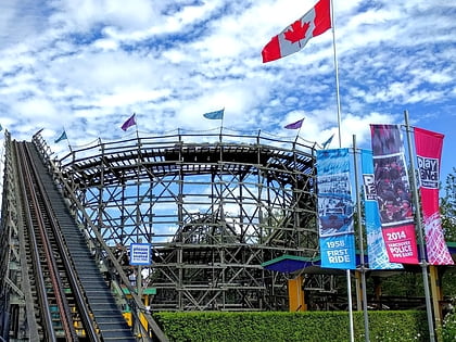
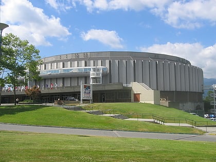
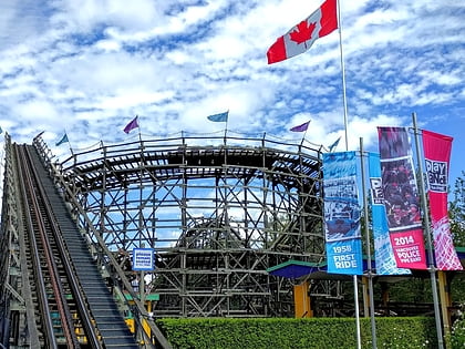
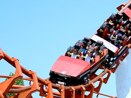
Nearby attractions include: Playland, Hastings Racecourse, Pacific Coliseum, Wooden Roller Coaster.
Frequently Asked Questions (FAQ)
Which popular attractions are close to Hastings Park?
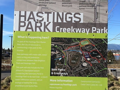
Nearby attractions include PNE Forum, Vancouver (3 min walk), Hastings Racecourse, Vancouver (11 min walk), Cassiar Tunnel, Vancouver (16 min walk), Creekway Park, Vancouver (17 min walk).
How to get to Hastings Park by public transport?
The nearest stations to Hastings Park:
Bus
Trolleybus
Bus
- East Hastings St at Renfrew Street • Lines: R5 (1 min walk)
- McGill Street FS North Renfrew Street • Lines: 210, 211 (14 min walk)
Trolleybus
- Renfrew St at East Hastings St • Lines: 16 (1 min walk)
- East Hastings Street at Renfrew Street • Lines: 14 (1 min walk)

 SkyTrain