Second Narrows Rail Bridge, Vancouver
Map
Gallery
Facts and practical information
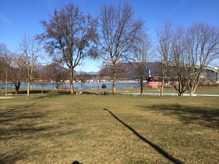
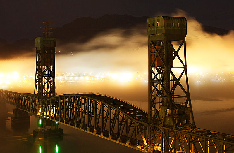
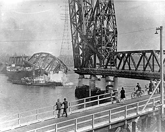
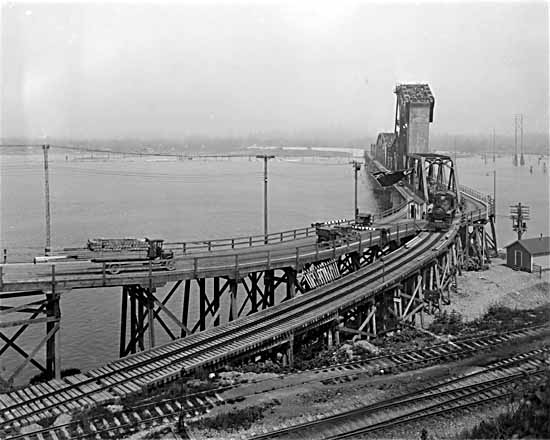
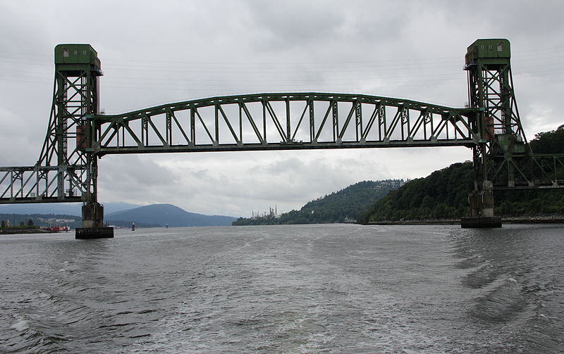
The Second Narrows Rail Bridge is a vertical-lift railway bridge that crosses the Burrard Inlet and connects Vancouver with the North Shore. The bridge's south end connects directly to the Thornton Tunnel, which connects it to the main Canadian rail network. As the name suggests, it is located at the second narrowing of the Burrard Inlet. ()
Day trips
Second Narrows Rail Bridge – popular in the area (distance from the attraction)
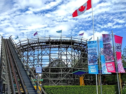
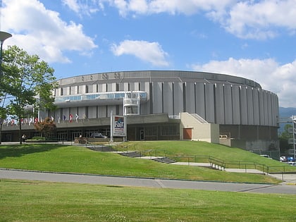
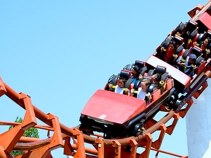
Nearby attractions include: Playland, Hastings Racecourse, Pacific Coliseum, Wooden Roller Coaster.
Frequently Asked Questions (FAQ)
Which popular attractions are close to Second Narrows Rail Bridge?
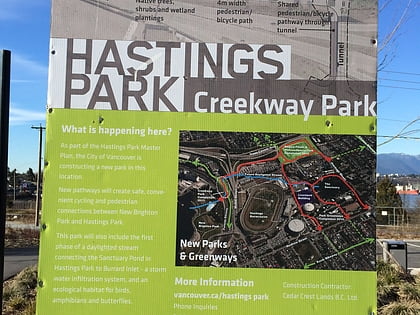
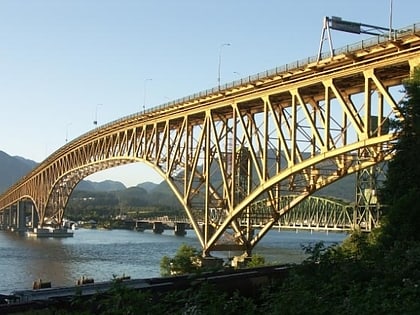
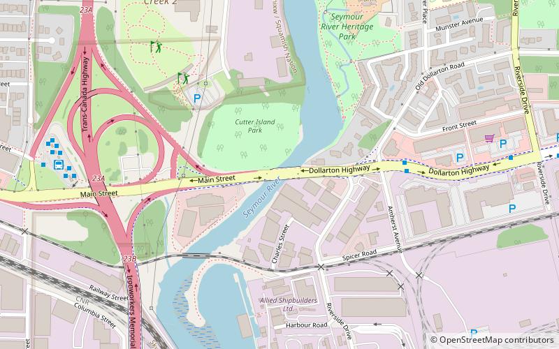
Nearby attractions include Ironworkers Memorial Second Narrows Crossing, Vancouver (4 min walk), Dollarton Bridge, Vancouver (17 min walk), Creekway Park, Vancouver (19 min walk), New Brighton Park, Vancouver (19 min walk).
How to get to Second Narrows Rail Bridge by public transport?
The nearest stations to Second Narrows Rail Bridge:
Bus
Trolleybus
Bus
- North Boundary Rd at Trinity St • Lines: 131 (12 min walk)
- McGill St at North Esmond Ave • Lines: 131 (14 min walk)
Trolleybus
- Kootenay Loop Bay 5 • Lines: 14 (26 min walk)
- East Hastings St at Cassiar St • Lines: 14 (28 min walk)


 SkyTrain