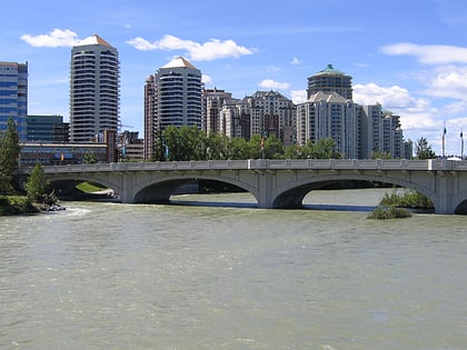
Louise Bridge, Calgary
Map
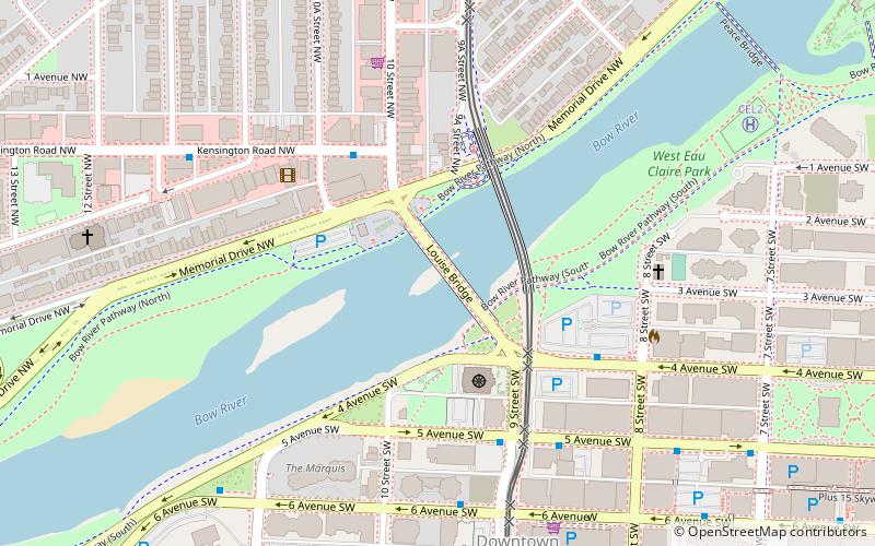
Map

Facts and practical information
Opened: 1921 (105 years ago)Length: 564 ftWidth: 64 ftCoordinates: 51°3'4"N, 114°5'6"W
Address
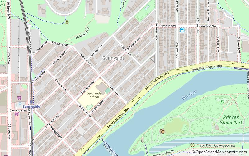
10 St SW between 4 Ave S and Memorial Drive NWNorthwest Calgary (Hillurst)Calgary
ContactAdd
Social media
Add
Day trips
Louise Bridge – popular in the area (distance from the attraction)
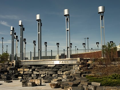
Nearby attractions include: The Core Shopping Centre, Prince's Island Park, Centennial Planetarium, Peace Bridge.
Frequently Asked Questions (FAQ)
Which popular attractions are close to Louise Bridge?
Nearby attractions include Calgary Soldiers' Memorial, Calgary (5 min walk), Downtown West End, Calgary (7 min walk), Creative Kids Museum, Calgary (8 min walk), Contemporary Calgary, Calgary (8 min walk).
How to get to Louise Bridge by public transport?
The nearest stations to Louise Bridge:
Bus
Light rail
Train
Bus
- 5 Avenue & 9 Street SW • Lines: 102, 103, 109, 116, 117, 133, 142, 151 (4 min walk)
- 4 Avenue & 8 Street SW • Lines: 4 (4 min walk)
Light rail
- Downtown West–Kerby • Lines: 202 (8 min walk)
- Sunnyside • Lines: 201 (10 min walk)
Train
- Calgary (25 min walk)
