Île Jésus, Laval

Map
Facts and practical information
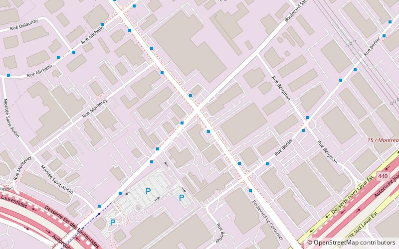
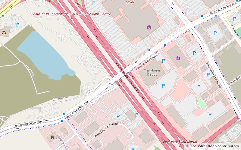
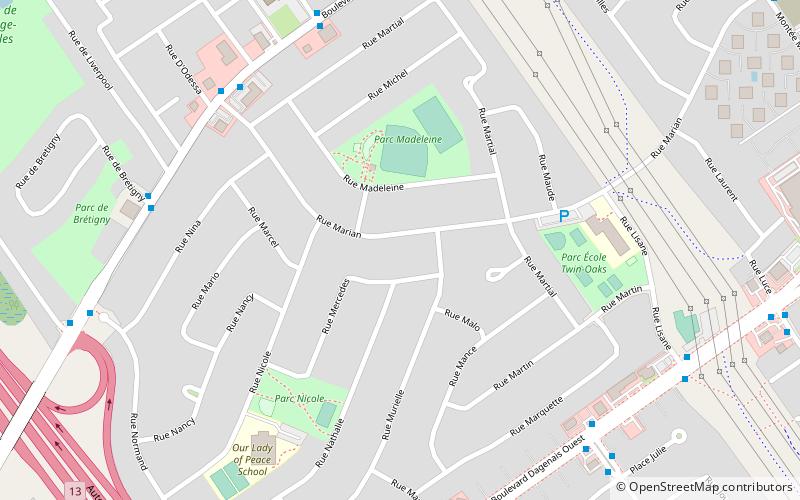
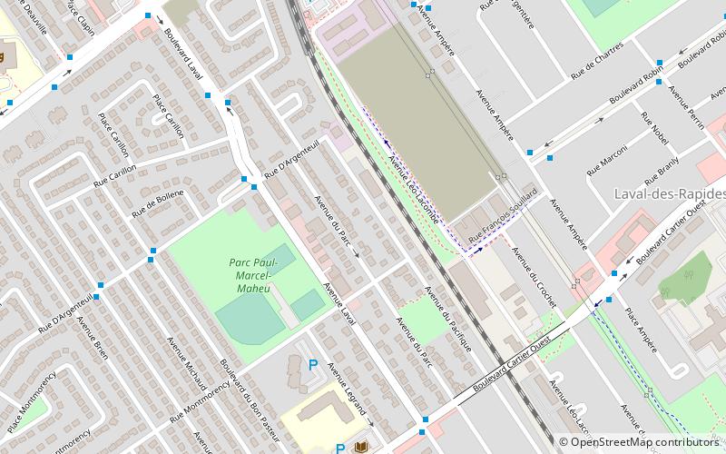
Île Jésus is a river island in southwestern Quebec, separated from the mainland to the north by the Rivière des Mille Îles, and from the Island of Montreal to the south by the Rivière des Prairies. ()
Alternative names: Area: 93.44 mi²Archipelago: Hochelaga ArchipelagoCoordinates: 45°34'60"N, 73°45'0"W
Address
ChomedeyLaval
ContactAdd
Social media
Add
Day trips
Île Jésus – popular in the area (distance from the attraction)
Nearby attractions include: Carrefour Laval, Centre Laval, Cosmodome, Bordeaux Railway Bridge.
Frequently Asked Questions (FAQ)
How to get to Île Jésus by public transport?
The nearest stations to Île Jésus:
Bus
Bus
- Le Corbusier / Saint-Elzéar • Lines: 37N, 37S, 63N, 63S, 65N, 65S, 70E, 76E, 76O (1 min walk)
- Saint-Elzéar / Le Corbusier • Lines: 70O (1 min walk)


