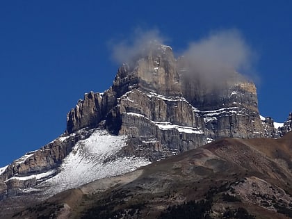
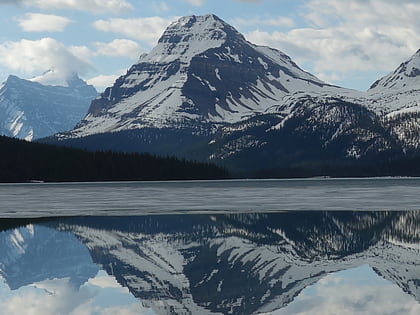
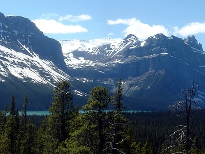
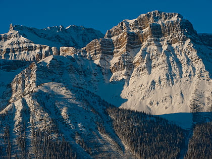
Mount Hector, Banff National Park
Map
Map

Facts and practical information
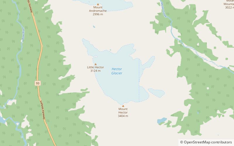
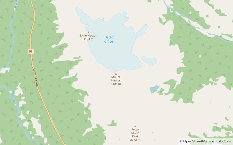
Mount Hector is a 3,394-metre mountain summit located in the Bow River valley of Banff National Park, in the Canadian Rockies of Alberta, Canada. The mountain was named in 1884 by George M. Dawson after James Hector, a geologist on the Palliser expedition. The mountain is located beside the Icefields Parkway, 17 km north of Lake Louise. ()
Alternative names: First ascent: 1895Elevation: 11135 ftProminence: 5771 ftCoordinates: 51°34'31"N, 116°15'32"W
Address
Icefields ParkwayBanff National Park
ContactAdd
Social media
Add
Day trips
Mount Hector – popular in the area (distance from the attraction)
Nearby attractions include: Bow Peak, Hector Lake, Mount Andromache, Pulpit Peak.
