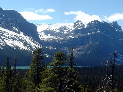
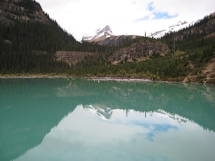
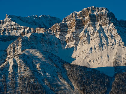
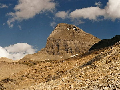
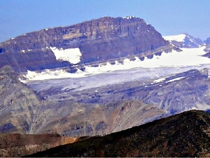
Waputik Range, Banff National Park
Map
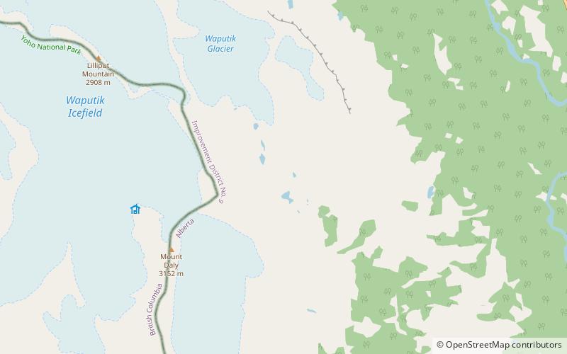
Map

Facts and practical information
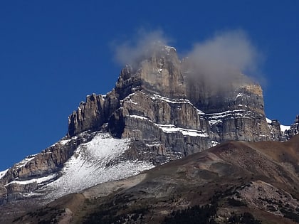
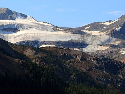
The Waputik Range lies west of the upper Bow Valley, east of Bath Creek, and south of Balfour Creek in the Canadian Rockies. "Waputik" means "white goat" in Stoney. The range was named by George Mercer Dawson of the Geological Survey of Canada. The President Range lies within the Waputik Range. ()
Address
Banff National Park
ContactAdd
Social media
Add
Day trips
Waputik Range – popular in the area (distance from the attraction)
Nearby attractions include: Takakkaw Falls, Hector Lake, Sherbrooke Lake, Mount Andromache.


