Cap Tourmente National Wildlife Area
Map

Map

Facts and practical information
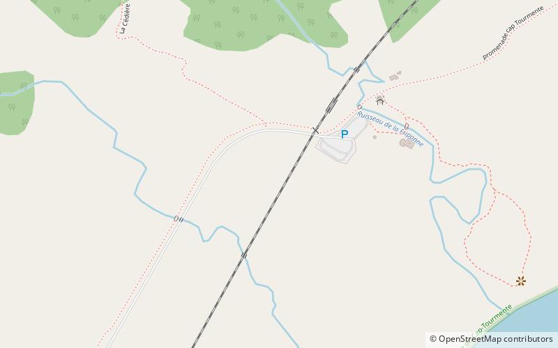
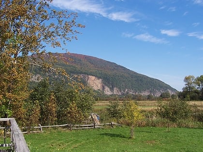
The Cap Tourmente National Wildlife Area is a National Wildlife Area located on the north shore of the Saint Lawrence River in the National Provincial Capital Region of Quebec, established on 28 April 1978. It is one of the critical habitats for the greater snow goose during migration. Flocks of tens of thousands of these birds stop over to feed on the bullrushes in the spring and fall. The tidal marsh was recognized as a wetland of international significance per the Ramsar Convention in 1981, the first North American site to receive that distinction. ()
Alternative names: Established: 28 April 1978 (47 years ago)Area: 8.91 mi²Elevation: 7 ft a.s.l.Coordinates: 47°4'33"N, 70°47'5"W
Location
Québec
ContactAdd
Social media
Add
Day trips
Cap Tourmente National Wildlife Area – popular in the area (distance from the attraction)
Nearby attractions include: Canyon Sainte-Anne, Saint Anne Falls.


