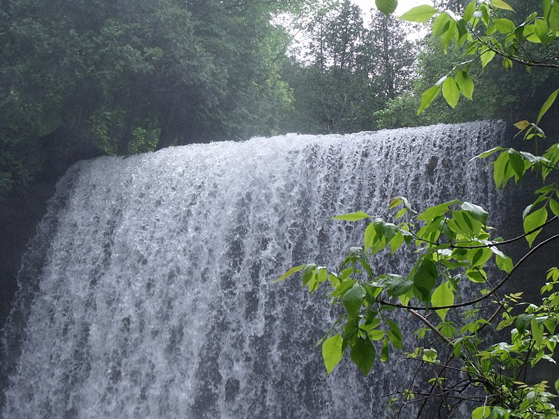
Bridal Veil Falls, Manitoulin Island

Gallery (4)
Map

Map
Gallery
Facts and practical information
Bridal Veil Falls is a waterfall near the town of Kagawong on Lake Huron's Manitoulin Island, Ontario, Canada. The water source is the Kagawong River, which flows from Lake Kagawong to the North Channel of Lake Huron. ()
Elevation: 689 ft a.s.l.Coordinates: 45°54'2"N, 82°15'19"W
Day trips

