Lake Kagawong, Manitoulin Island
Map

Map

Facts and practical information
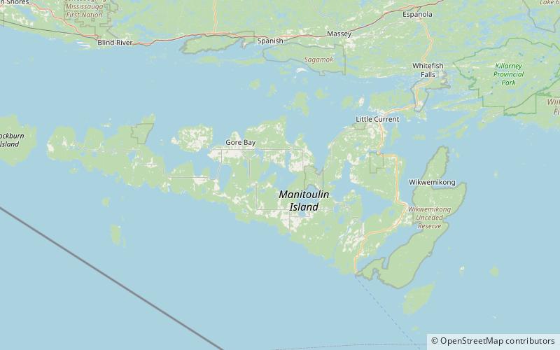
Lake Kagawong is the second largest lake on Manitoulin Island in Ontario, Canada. Located in the central part of the island, the lake is drained by the Kagawong River, which falls over Bridal Veil Falls into Lake Huron. Kagawong means " from the falling " in the local Ojibwe language. ()
Maximum depth: 148 ftElevation: 692 ft a.s.l.Coordinates: 45°49'37"N, 82°18'30"W
Address
Manitoulin Island
ContactAdd
Social media
Add
Day trips
Lake Kagawong – popular in the area (distance from the attraction)
Nearby attractions include: Bridal Veil Falls, Lake Mindemoya.


