Cameron Street Bridge, Prince George
Map
Map

Facts and practical information
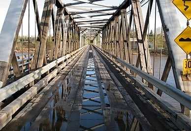
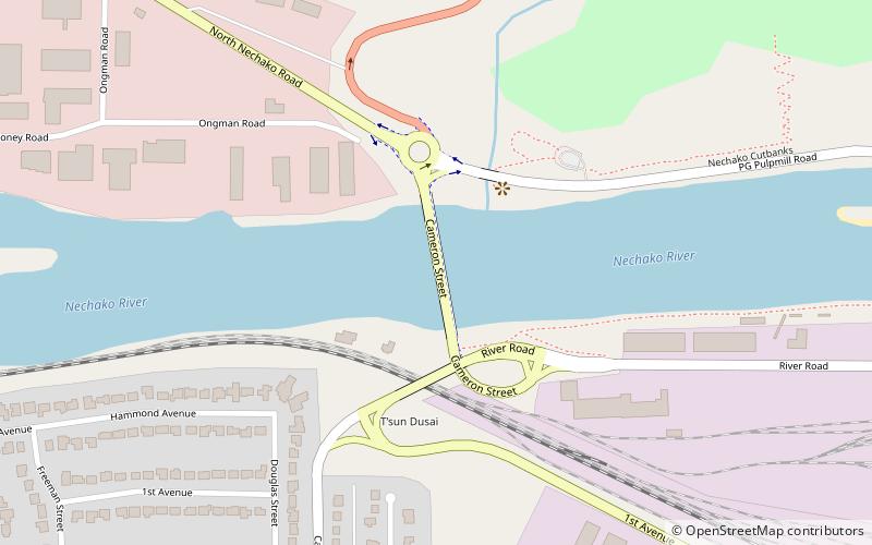
The Cameron Street Bridge is a two-lane, 208 metre long continuous steel girder bridge in Prince George, British Columbia. It crosses the Nechako River, connecting the city's downtown on the river's southern side, to the Hart, a residential area on the north side of the river. Construction of the bridge began in May 2008, and the bridge was completed and opened to traffic on August 24, 2009. ()
Length: 682 ftCoordinates: 53°55'38"N, 122°46'1"W
Address
Prince George
ContactAdd
Social media
Add
Day trips
Cameron Street Bridge – popular in the area (distance from the attraction)
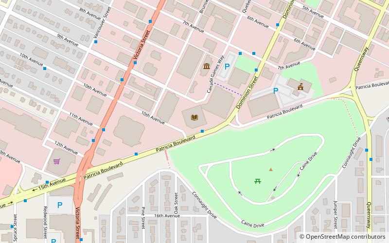
Nearby attractions include: Forests for the World, Two Rivers Art Gallery, Prince George Public Library, Regional District of Fraser-Fort George.
