Forests for the World, Prince George
Facts and practical information
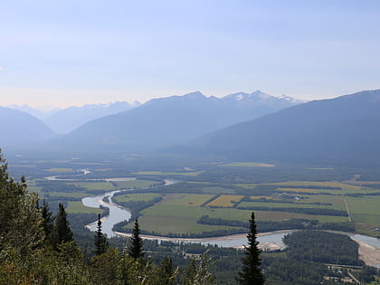
Forests for the World is a municipal park located in Prince George, British Columbia in the Fraser-Nechako plateau region. It has over 15 kilometres of multi-use trails which pass both Small Reflection Lake and Shane Lake. Facilities include fire pits, picnic tables, and a look-out tower. This area has a covered picnic area, and restrooms. The mass of trails connects to a variety of other hiking spots in the area, including the UNBC Greenway, Otway ski trails, and blue spruce trails. The park in full is 106 hectares, and is considered an easy/beginners trail. The forest has a mix of deciduous and coniferous trees, frequent in spruce, douglas fir, and pine. ()
Prince George
Forests for the World – popular in the area (distance from the attraction)
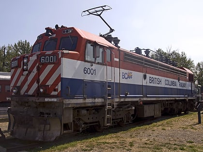
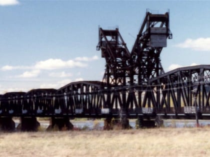
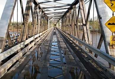
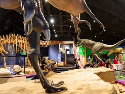
Nearby attractions include: Railway & Forestry Museum, Prince George CNR Bridge, Cameron Street Bridge, The Exploration Place.
