Copeland Islands Marine Provincial Park
Map

Map

Facts and practical information
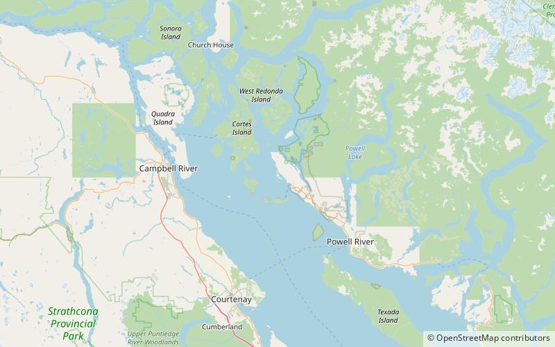
Copeland Islands Marine Provincial Park is a provincial park in British Columbia, Canada, located in Desolation Sound to the northwest of Lund on the northern Sunshine Coast off the west coast of the Malaspina Peninsula. ()
Elevation: 39 ft a.s.l.Coordinates: 50°0'33"N, 124°48'50"W
Location
British Columbia
ContactAdd
Social media
Add
Day trips
Copeland Islands Marine Provincial Park – popular in the area (distance from the attraction)
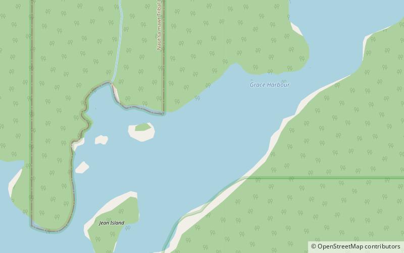
Nearby attractions include: Grace Harbour, Hernando Island, Desolation Sound, Savary Island.


