Savary Island
Map

Gallery

Facts and practical information
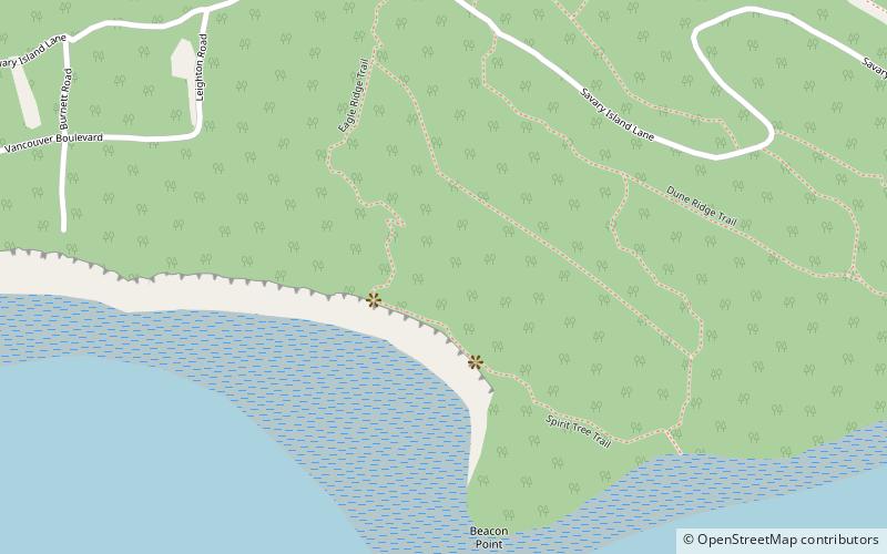
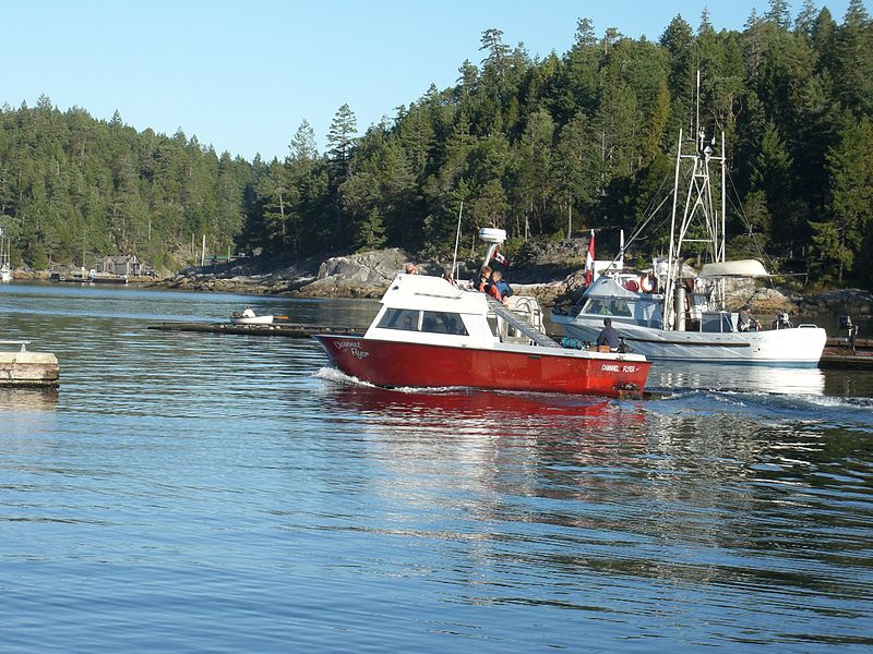
Savary Island or Áyhus is an island in British Columbia, Canada. Located in the northern part of the Strait of Georgia, it is 144 kilometres northwest of Vancouver. It is approximately 0.8-1.5 km wide and 7.5 kilometres long. It has a permanent population of about 100, expanding to perhaps 2,000 or more in the summer months. Savary Island lies within the traditional territory of the Tla'amin Nation. ()
Location
British Columbia
ContactAdd
Social media
Add
Day trips
Savary Island – popular in the area (distance from the attraction)
Nearby attractions include: Copeland Islands Marine Provincial Park, Hernando Island, Desolation Sound.


