Whytecliff Park, Vancouver
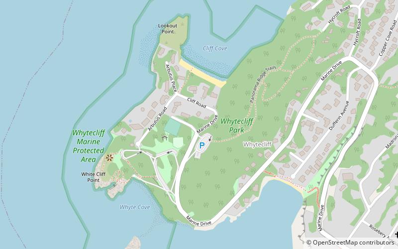
Map
Map

Facts and practical information
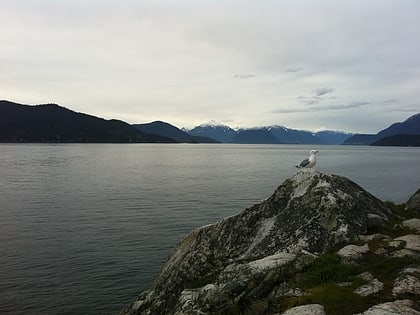
Whytecliff Park is located near West Vancouver's Horseshoe Bay Neighbourhood, the original name of which was White Cliff City, which opened in 1909. In 1914, Colonel Albert Whyte pressed for the spelling change from White Cliff City to Whytecliff. The Whytecliff area is now distinct from Horseshoe Bay. The park, originally Rockcliffe Park, was developed by W.W. Boultbee in 1926, and a private access road was cut from the Marine Drive highway at Batchelor Bay. ()
Elevation: 128 ft a.s.l.Coordinates: 49°22'26"N, 123°17'20"W
Day trips
Whytecliff Park – popular in the area (distance from the attraction)
Nearby attractions include: Cypress Mountain, Lighthouse Park, Point Atkinson Lighthouse, Sewell's Marina.
Frequently Asked Questions (FAQ)
How to get to Whytecliff Park by public transport?
The nearest stations to Whytecliff Park:
Bus
Ferry
Bus
- Nelson Ave at 6400 Block • Lines: 262 (13 min walk)
- Marine Dr at Nelson Ave • Lines: 250, 262 (14 min walk)
Ferry
- West Vancouver Berth 1 (20 min walk)
- West Vancouver Berth 2 • Lines: 8 (21 min walk)
 SkyTrain