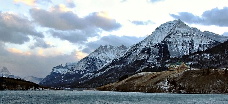
Waterton Lake, Waterton Lakes National Park

Facts and practical information
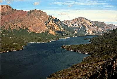
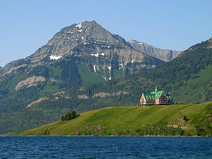
Waterton Lake is a mountain lake in southern Alberta, Canada and northern Montana, United States. The lake is composed of two bodies of water, connected by a shallow channel known locally as the Bosporus. The two parts are referred to as Middle Waterton Lake, and Upper Waterton Lake, the latter of which is divided by the Canada–United States border with Canada containing about two thirds of the lake while the Southern third falls in the United States. The Boundary Commission Trail ends at the lake as the last border marker was placed there on 8 August 1874. The United States Geological Survey gives the geocoordinates of 49°03′00″N 113°54′03″W for Upper Waterton Lake. Lower Waterton Lake is north of Middle Waterton Lake and is separated by a channel known as the Dardanelles. ()
Waterton Lakes National Park
Waterton Lake – popular in the area (distance from the attraction)
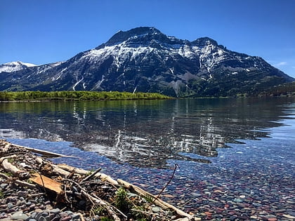
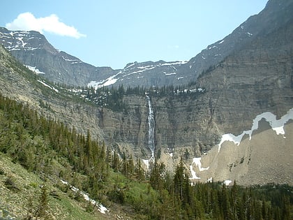
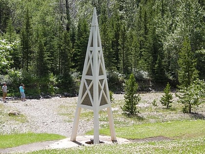
Nearby attractions include: Crypt Falls, Vimy Peak, Crypt Lake Trail, First Oil Well in Western Canada.
