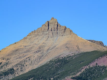
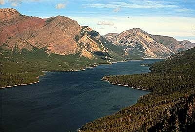
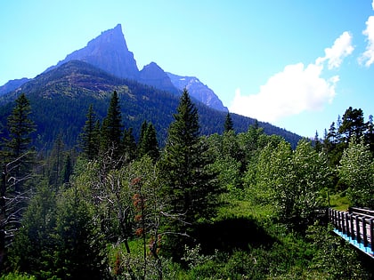
Mount Galwey, Waterton Lakes National Park
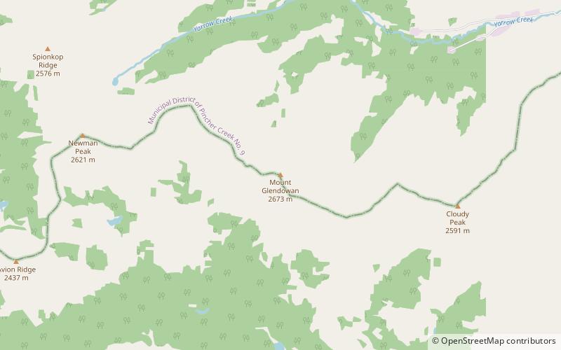
Map
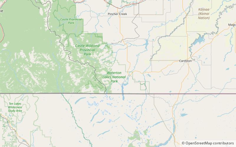
Map

Facts and practical information
Mount Galwey is a mountain located north of Blakiston Creek in Waterton Lakes National Park, Alberta, Canada. The mountain was named in 1934 after Lt. Galwey, who was an astronomer for the International Boundary Commission. ()
Elevation: 7799 ftProminence: 597 ftCoordinates: 49°7'23"N, 113°56'46"W
Address
Waterton Lakes National Park
ContactAdd
Social media
Add
Day trips
Mount Galwey – popular in the area (distance from the attraction)
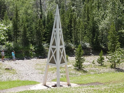
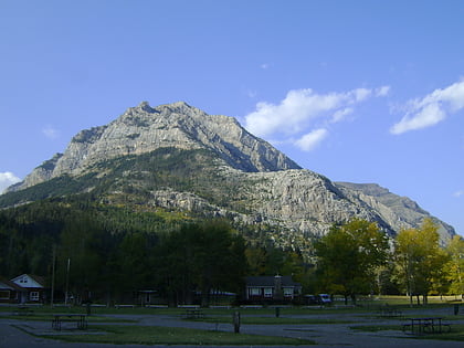
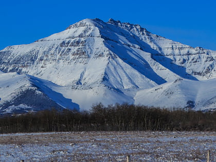
Nearby attractions include: First Oil Well in Western Canada, Mount Crandell, Mount Dungarvan, Waterton Lake.
