Rossdale, Edmonton
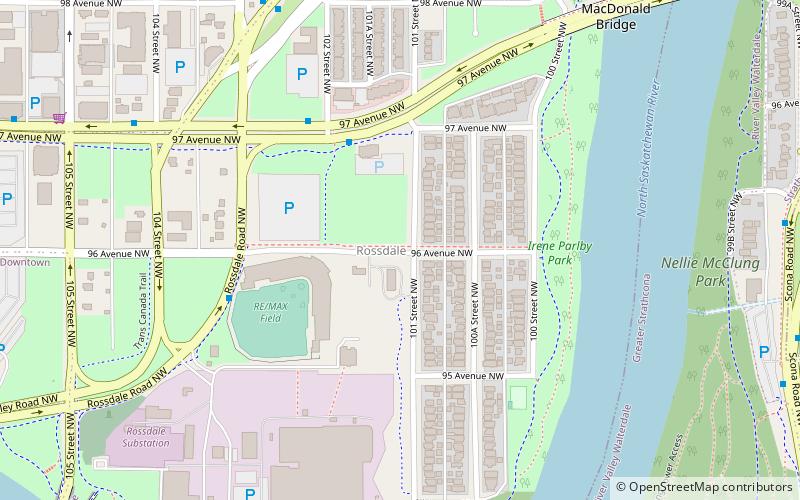
Map
Gallery
Facts and practical information
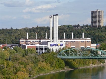
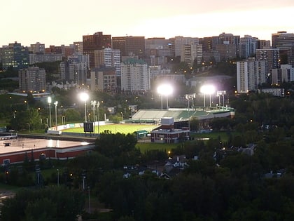
Rossdale is a river valley neighbourhood in the city of Edmonton, Alberta, Canada, located immediately south of the downtown core. It is a popular residential neighbourhood with easy access to downtown, the University of Alberta, the Edmonton river valley park system, and other amenities. ()
Area: 224.87 acres (0.3514 mi²)Coordinates: 53°31'57"N, 113°29'38"W
Address
North Central Edmonton (Rossdale)Edmonton
ContactAdd
Social media
Add
Day trips
Rossdale – popular in the area (distance from the attraction)
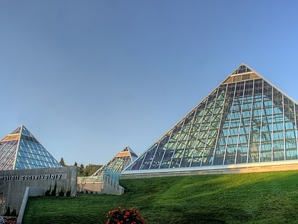
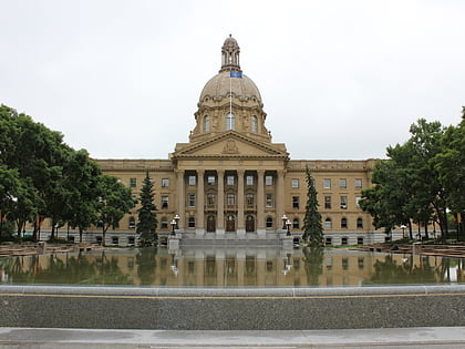
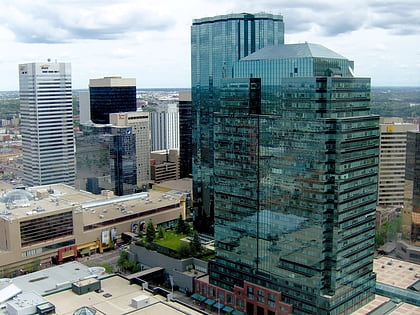
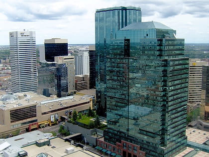
Nearby attractions include: Muttart Conservatory, Alberta Legislature Building, Manulife Place, Commerce Place.
Frequently Asked Questions (FAQ)
Which popular attractions are close to Rossdale?
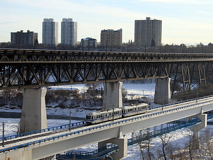
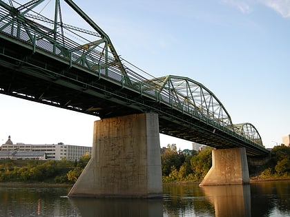
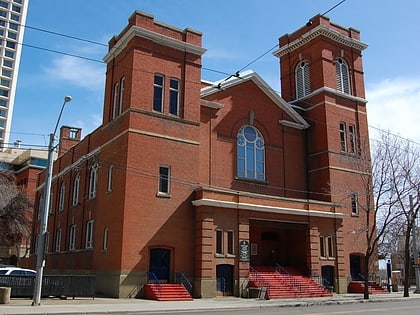
Nearby attractions include James MacDonald Bridge, Edmonton (9 min walk), McKay Avenue School, Edmonton (11 min walk), Walterdale Bridge, Edmonton (12 min walk), Low Level Bridge, Edmonton (13 min walk).
How to get to Rossdale by public transport?
The nearest stations to Rossdale:
Bus
Light rail
Bus
- 102 Street & MacDonald Drive • Lines: 1 (13 min walk)
- Government Centre Transit Centre (13 min walk)
Light rail
- Central • Lines: 501, 502 (16 min walk)
- Bay/Enterprise Square • Lines: 501, 502 (16 min walk)
