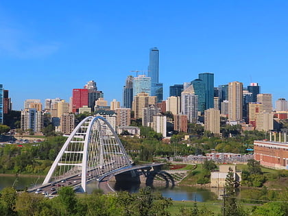
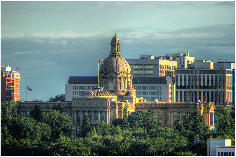
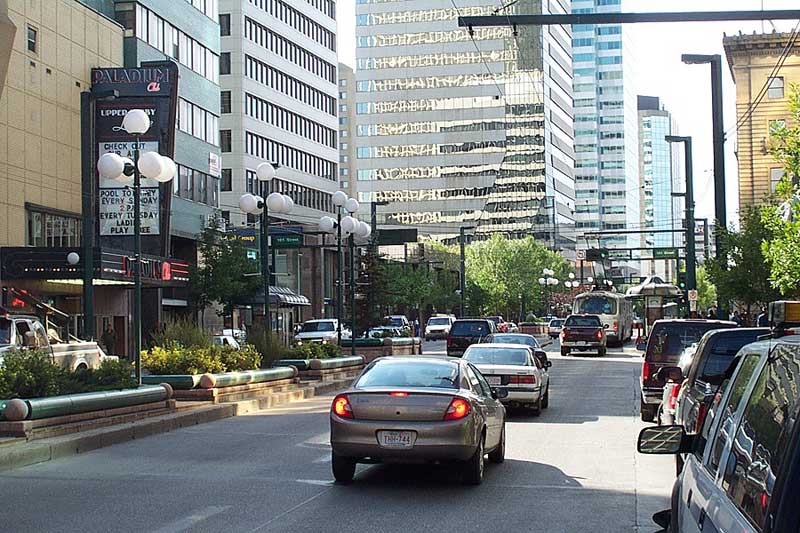
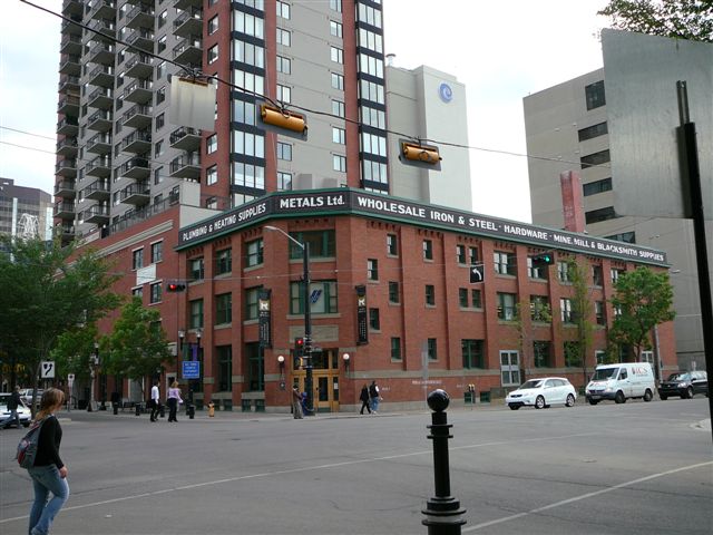
Downtown Edmonton, Edmonton
Map
Gallery
Facts and practical information
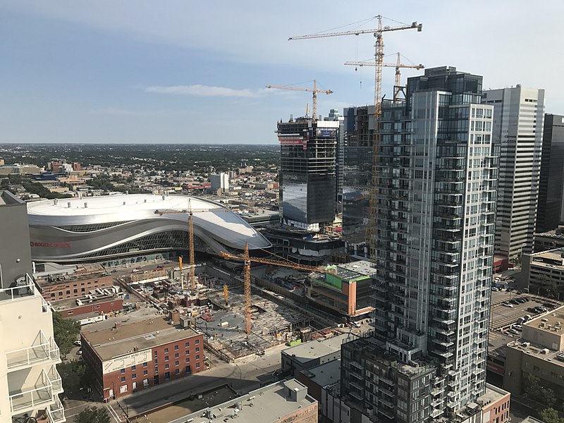
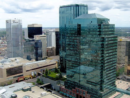
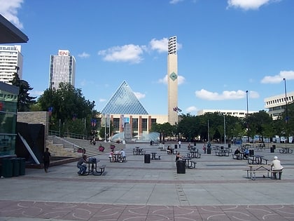
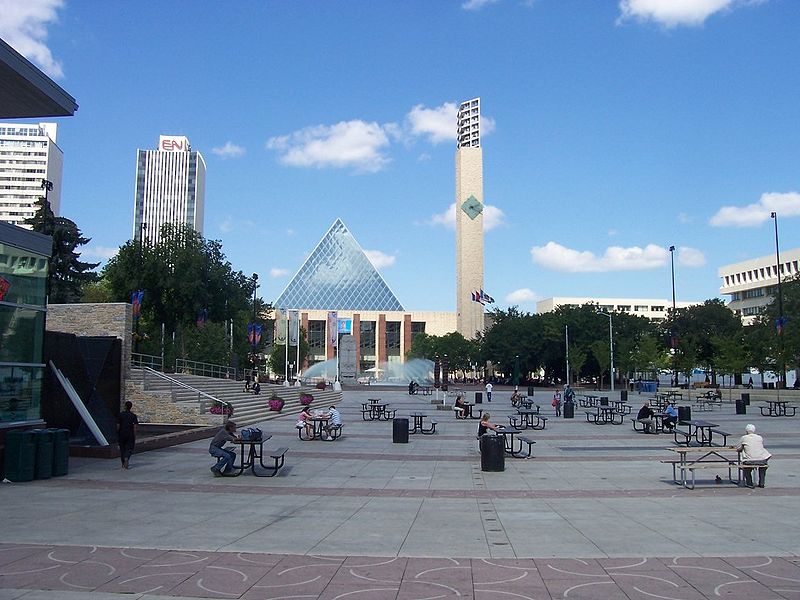
Downtown Edmonton is the central business district of Edmonton, Alberta. Located at the geographical centre of the city, the downtown area is bounded by 109 Street to the west, 105 Avenue to the north, 97 Street to the east, 97 Avenue and Rossdale Road to the south, and the North Saskatchewan River to the southeast. ()
Area: 0.88 mi²Coordinates: 53°32'38"N, 113°29'28"W
Address
North Central Edmonton (Downtown Edmonton)Edmonton
ContactAdd
Social media
Add
Day trips
Downtown Edmonton – popular in the area (distance from the attraction)
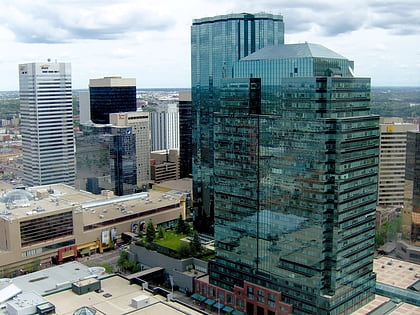
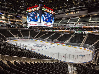
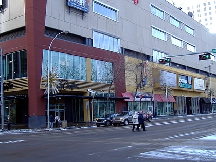
Nearby attractions include: Manulife Place, Rogers Place, Commerce Place, Edmonton City Centre.
Frequently Asked Questions (FAQ)
Which popular attractions are close to Downtown Edmonton?
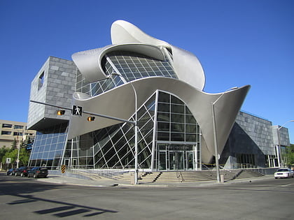
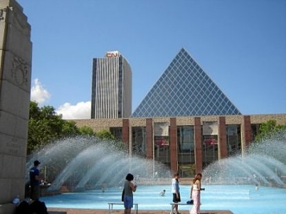
Nearby attractions include Churchill Square, Edmonton (2 min walk), Alberta Opera, Edmonton (2 min walk), Stanley A. Milner Library, Edmonton (3 min walk), Oxford Tower, Edmonton (3 min walk).
How to get to Downtown Edmonton by public transport?
The nearest stations to Downtown Edmonton:
Light rail
Bus
Light rail
- Churchill • Lines: 501, 502 (3 min walk)
- Central • Lines: 501, 502 (6 min walk)
Bus
- 101 Street & 102 Ave • Lines: 1, 560, 900X (4 min walk)
- 101 Street & 103A Ave • Lines: 1, 900X (5 min walk)
