LeBreton Flats, Ottawa
Map
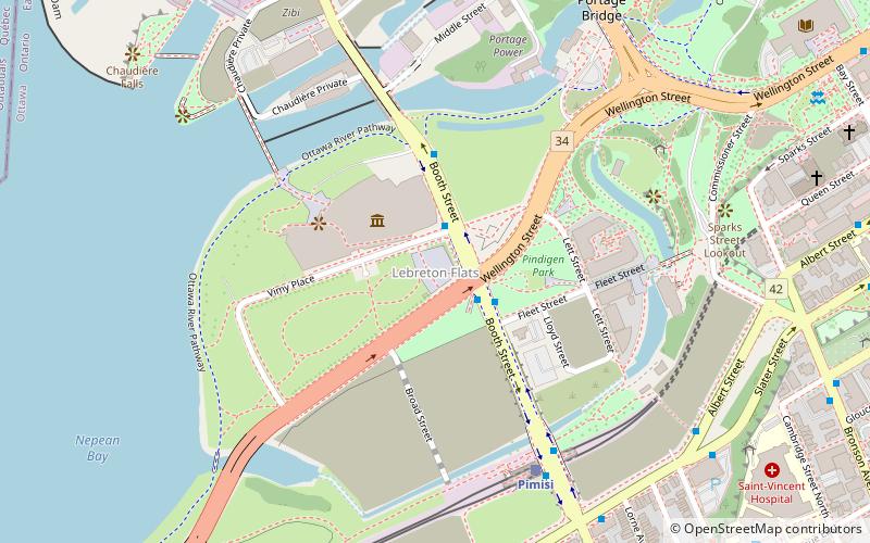
Map

Facts and practical information
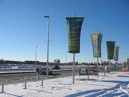
LeBreton Flats is a neighbourhood in Somerset Ward in central Ottawa, Ontario, Canada. It lies to the west of Centretown neighbourhood, and to the north of Centretown West. The Ottawa River forms the western and northern limit, with the western side being a wider area of the river known as Nepean Bay. ()
Day trips
LeBreton Flats – popular in the area (distance from the attraction)
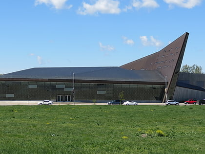
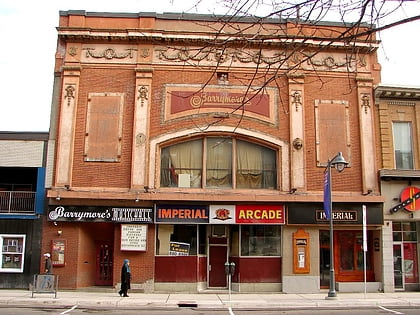
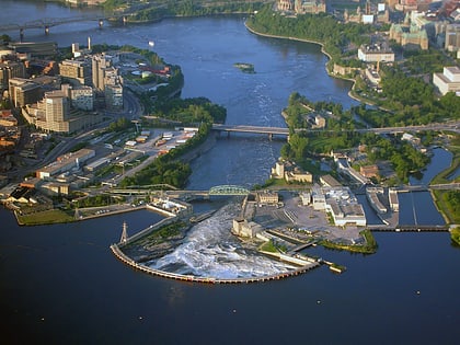
Nearby attractions include: Canadian War Museum, Barrymore's, Chaudière Falls, Capital Pathway.
Frequently Asked Questions (FAQ)
Which popular attractions are close to LeBreton Flats?
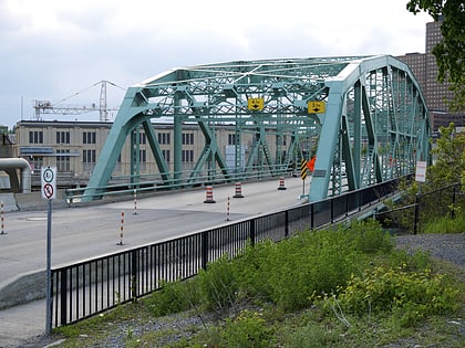
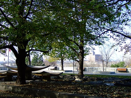
Nearby attractions include National Holocaust Monument, Ottawa (2 min walk), Canadian War Museum, Ottawa (3 min walk), Canada's Golgotha, Ottawa (3 min walk), Portage Bridge, Ottawa (8 min walk).
How to get to LeBreton Flats by public transport?
The nearest stations to LeBreton Flats:
Bus
Light rail
Bus
- Booth / Sir John A Macdonald • Lines: 61, 63, 66, 75, 85 (2 min walk)
- Pimisi A • Lines: 61, 63, 66, 75, 85 (6 min walk)
Light rail
- Pimisi O-Train West/Ouest • Lines: 1 (6 min walk)
- Lyon B • Lines: 1 (14 min walk)
