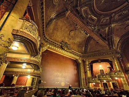
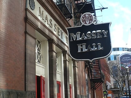
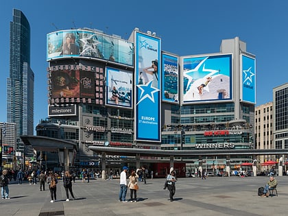
Ryerson Image Centre, Toronto
Map
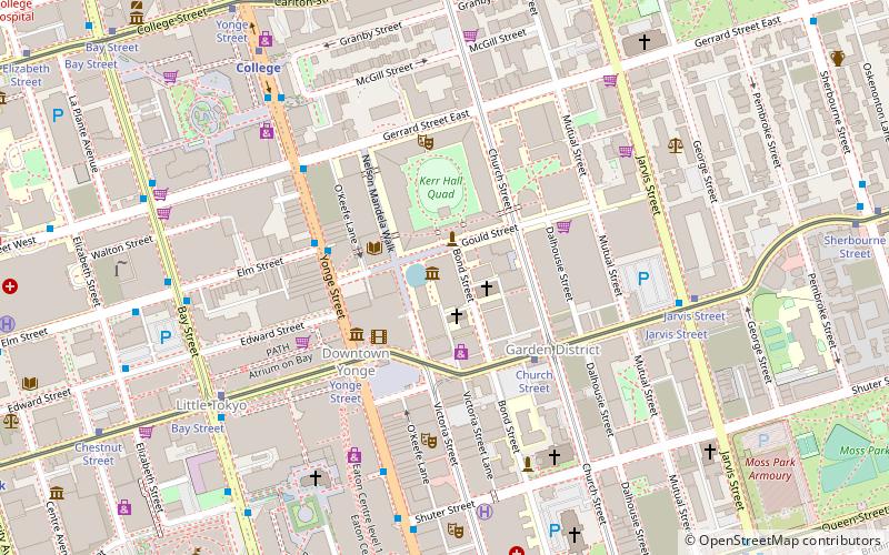
Map

Facts and practical information
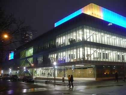
The Ryerson Image Centre is a renovated and remodelled former warehouse building at Gould and Bond Streets on the campus of Ryerson University in Toronto, Ontario, Canada. The centre includes gallery, collections, teaching, research and exhibition spaces and shares the building with the School of Image Arts. ()
Established: September 2012 (13 years ago)Coordinates: 43°39'27"N, 79°22'45"W
Address
33 Gould StDowntown Toronto (Garden District)Toronto M5B 1E9
Contact
+1 416-979-5164
Social media
Add
Day trips
Ryerson Image Centre – popular in the area (distance from the attraction)
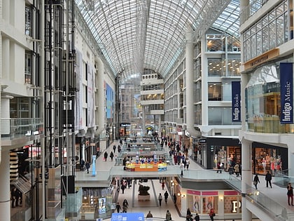
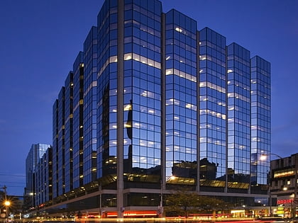
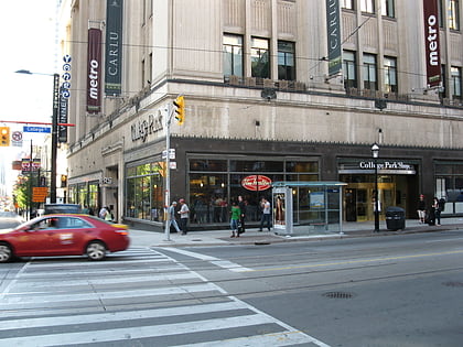
Nearby attractions include: CF Toronto Eaton Centre, Atrium on Bay, College Park, Yonge-Dundas Square.
Frequently Asked Questions (FAQ)
When is Ryerson Image Centre open?
Ryerson Image Centre is open:
- Monday closed
- Tuesday 11 am - 6 pm
- Wednesday 11 am - 8 pm
- Thursday 11 am - 6 pm
- Friday 11 am - 6 pm
- Saturday 12 pm - 5 pm
- Sunday 12 pm - 5 pm
Which popular attractions are close to Ryerson Image Centre?
Nearby attractions include First Evangelical Lutheran Church of Toronto, Toronto (1 min walk), Saint George Greek Orthodox Church Toronto, Toronto (2 min walk), Oakham House, Toronto (2 min walk), Library Building, Toronto (2 min walk).
How to get to Ryerson Image Centre by public transport?
The nearest stations to Ryerson Image Centre:
Tram
Metro
Bus
Train
Tram
- Yonge Street • Lines: 505 (4 min walk)
- Church Street • Lines: 505 (4 min walk)
Metro
- Dundas • Lines: 1 (3 min walk)
- College • Lines: 1 (8 min walk)
Bus
- Elm Street • Lines: 19 (7 min walk)
- Dundas Street West • Lines: 19 (7 min walk)
Train
- Toronto Union Station (23 min walk)
 Subway
 Streetcar system
 PATH
PATH