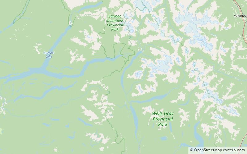
Hobson Lake, Wells Gray Provincial Park

Map
Facts and practical information
Hobson Lake is the uppermost lake on the Clearwater River in east-central British Columbia, Canada. Hobson Lake is one of the six major lakes in Wells Gray Provincial Park. ()
Alternative names: Area: 13.01 mi²Length: 21.75 miWidth: 4921 ftElevation: 2858 ft a.s.l.Coordinates: 52°30'0"N, 120°19'59"W
Address
Wells Gray Provincial Park
ContactAdd
Social media
Add
Day trips
Hobson Lake – popular in the area (distance from the attraction)
Nearby attractions include: Mount Hugh Neave.
