Winnipeg Route 57, Winnipeg

Gallery (1)
Map
Map
Facts and practical information
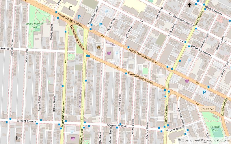
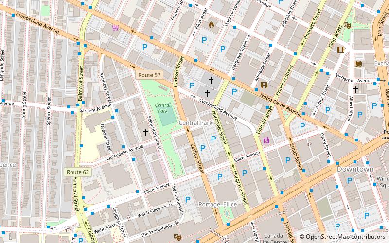
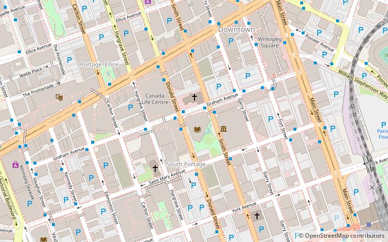
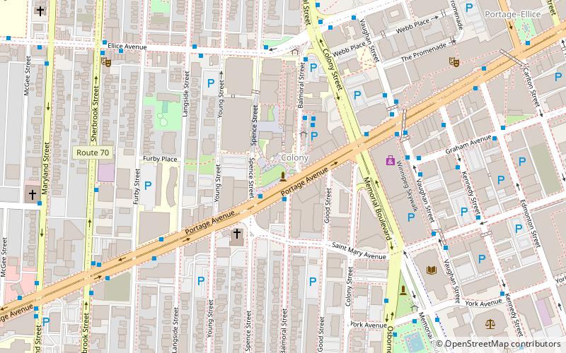
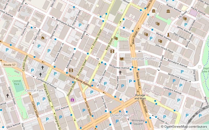
Route 57 is a major road located in Winnipeg, Manitoba. It connects the suburbs of St. James and St. Boniface with the West End and the downtown core. ()
Coordinates: 49°53'56"N, 97°9'22"W
Address
Central Winnipeg (Spence)Winnipeg
ContactAdd
Social media
Add
Getting there by public transportation
Public transportation stops near this location
- Bus
- Train
 Bus
Bus
- Calculate routeEastbound Cumberland at Langside 1 min walk
- Calculate routeWestbound Notre Dame at Lydia 3 min walk
- Calculate routeNorthbound Sherbrook at Sargent North 3 min walk
- Calculate routeEastbound Cumberland at Sherbrook 3 min walk
- Calculate routeWinnipeg 31 min walk
Day trips


Frequently Asked Questions (FAQ)
Which popular attractions are close to Winnipeg Route 57?
Nearby attractions include Central Park, Winnipeg (12 min walk), Gallery 1C03, Winnipeg (13 min walk), Centennial, Winnipeg (14 min walk), Winnipeg Centre, Winnipeg (15 min walk).
How to get to Winnipeg Route 57 by public transport?
The nearest stations to Winnipeg Route 57:
Bus
Train
Bus
- Eastbound Cumberland at Langside • Lines: 19 (1 min walk)
- Westbound Notre Dame at Lydia • Lines: 19 (3 min walk)
Train
- Winnipeg (31 min walk)