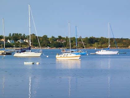
Willows Beach, Victoria
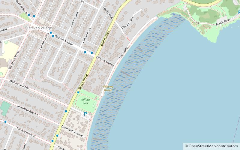
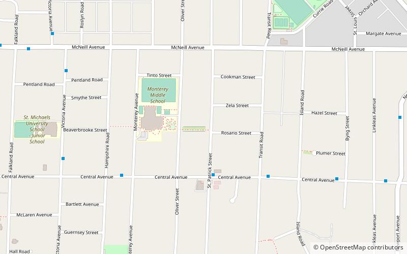
Map
Facts and practical information
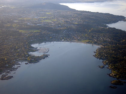
Willows Beach, Victoria is a beachfront in the Municipality of Oak Bay, in Victoria, British Columbia. Along Willows Beach is Willows Park, where a tea-room is run by the Kiwanis Club in spring and summer. It takes its name from the Willows Fairground built in 1891 and which remained Greater Victoria's main horse-racing venue during the early years of the twentieth century. The Willows Racetrack was situated nearly a kilometre inland from the beach, so named because of the willow trees that grew there. ()
Elevation: 3 ft a.s.l.Coordinates: 48°26'7"N, 123°18'7"W
Day trips
Willows Beach – popular in the area (distance from the attraction)
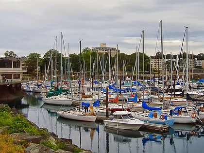
Nearby attractions include: Oak Bay Marina, Cattle Point, The Avenue Gallery, Camosun College.
Frequently Asked Questions (FAQ)
Which popular attractions are close to Willows Beach?
Nearby attractions include Cattle Point, Victoria (13 min walk), Oak Bay Marina, Victoria (19 min walk), The Avenue Gallery, Victoria (24 min walk), Oak Bay, Victoria (24 min walk).
How to get to Willows Beach by public transport?
The nearest stations to Willows Beach:
Bus
Bus
- Estevan at Beach • Lines: 5 (3 min walk)
- Beach at Dalhousie • Lines: 5 (5 min walk)
