Cadboro Bay, Discovery Island
Map
Map

Facts and practical information
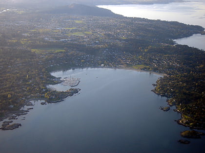
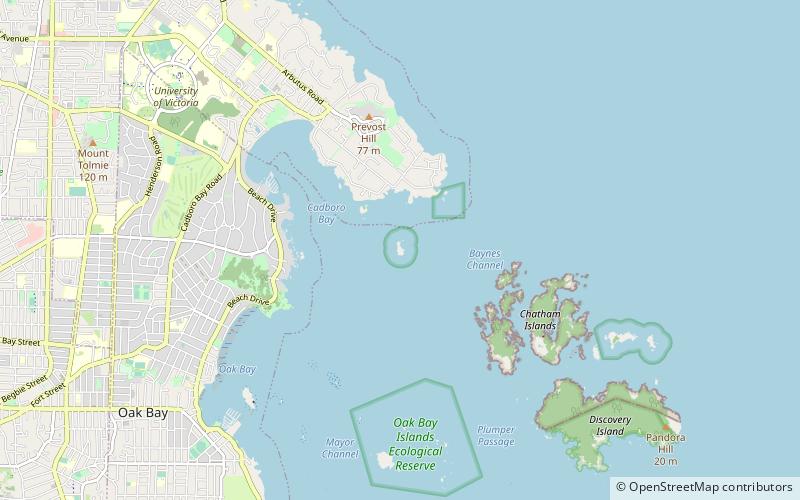
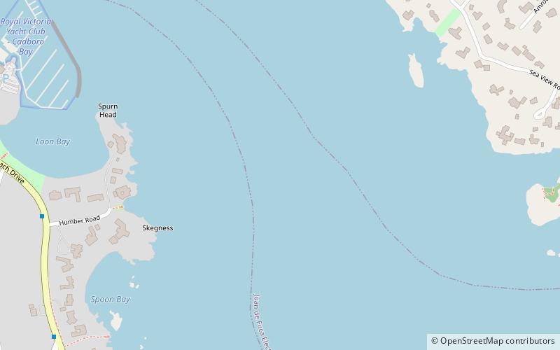
Cadboro Bay is a bay near the southern tip of Vancouver Island and its adjacent neighbourhood in the municipalities of Saanich and Oak Bay in Greater Victoria, British Columbia, Canada. ()
Coordinates: 48°26'59"N, 123°17'15"W
Address
Discovery Island
ContactAdd
Social media
Add
Day trips
Cadboro Bay – popular in the area (distance from the attraction)
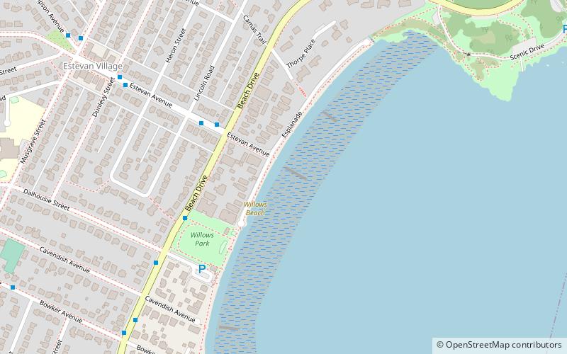
Nearby attractions include: Cattle Point, Willows Beach, Mystic Vale, Ten Mile Point.
Frequently Asked Questions (FAQ)
Which popular attractions are close to Cadboro Bay?
Nearby attractions include Ten Mile Point, Discovery Island (19 min walk), Jemmy Jones Island, Victoria (20 min walk), Cattle Point, Victoria (21 min walk).
