No. 2 Road Bridge, Richmond
Map
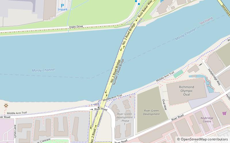
Map

Facts and practical information
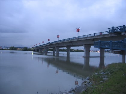
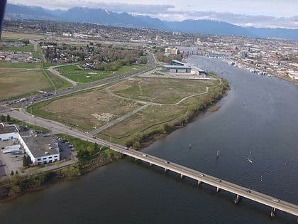
The No. 2 Road Bridge is a crossing over the middle arm of the Fraser River, and River Rd. in Metro Vancouver. ()
Length: 1837 ftWidth: 72 ftCoordinates: 49°10'33"N, 123°9'25"W
Address
Richmond City Centre (Oval Village)Richmond
ContactAdd
Social media
Add
Day trips
No. 2 Road Bridge – popular in the area (distance from the attraction)
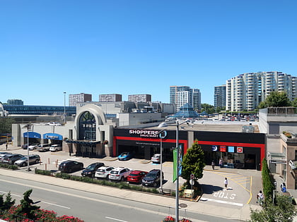
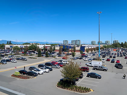
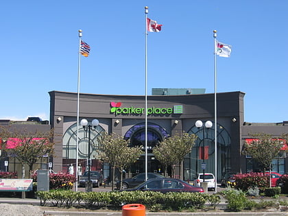
Nearby attractions include: Minoru Park, Aberdeen Centre, CF Richmond Centre, Lansdowne Centre.
Frequently Asked Questions (FAQ)
Which popular attractions are close to No. 2 Road Bridge?
Nearby attractions include Water Sky Garden, Richmond (8 min walk), Dinsmore Bridge, Richmond (12 min walk), Minoru Chapel, Richmond (20 min walk), Minoru Park, Richmond (23 min walk).
How to get to No. 2 Road Bridge by public transport?
The nearest stations to No. 2 Road Bridge:
Bus
Metro
Bus
- Inglis Dr at Airport Rd South • Lines: 412 (7 min walk)
- Westminster Hwy at No. 2 Rd • Lines: 401 (10 min walk)
Metro
- Lansdowne • Lines: Canada Line (24 min walk)
- Richmond–Brighouse • Lines: Canada Line (28 min walk)
