Richmond Olympic Oval, Richmond
Map
Gallery
Facts and practical information
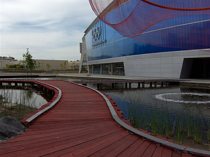
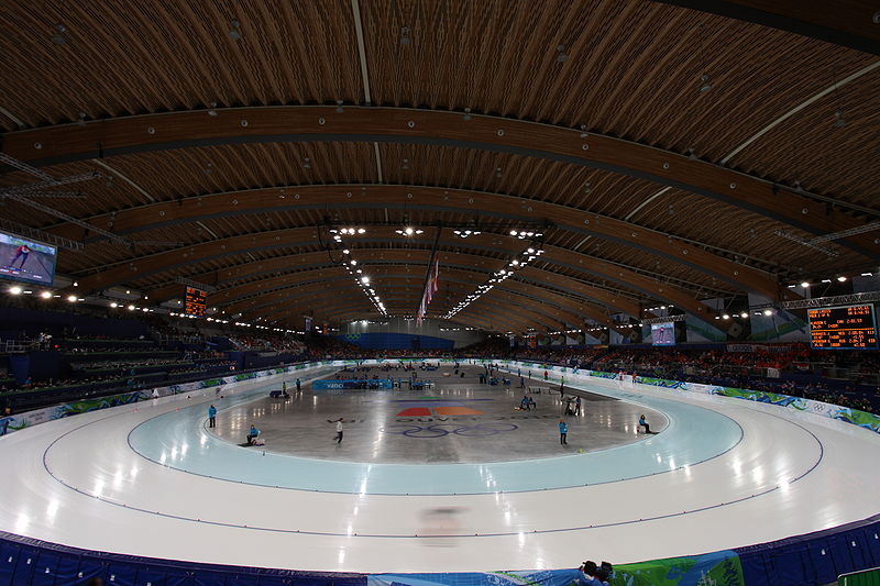
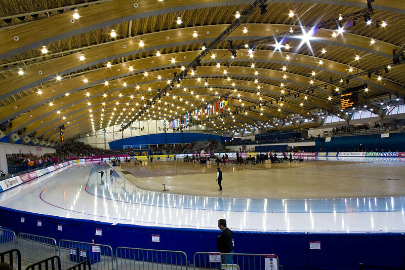
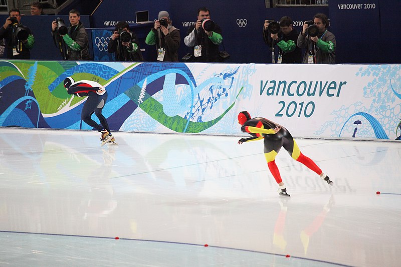
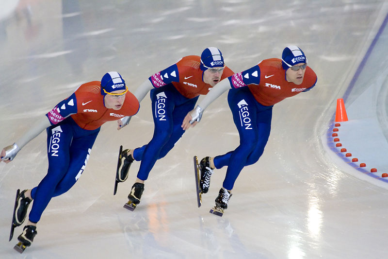
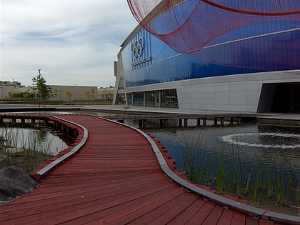
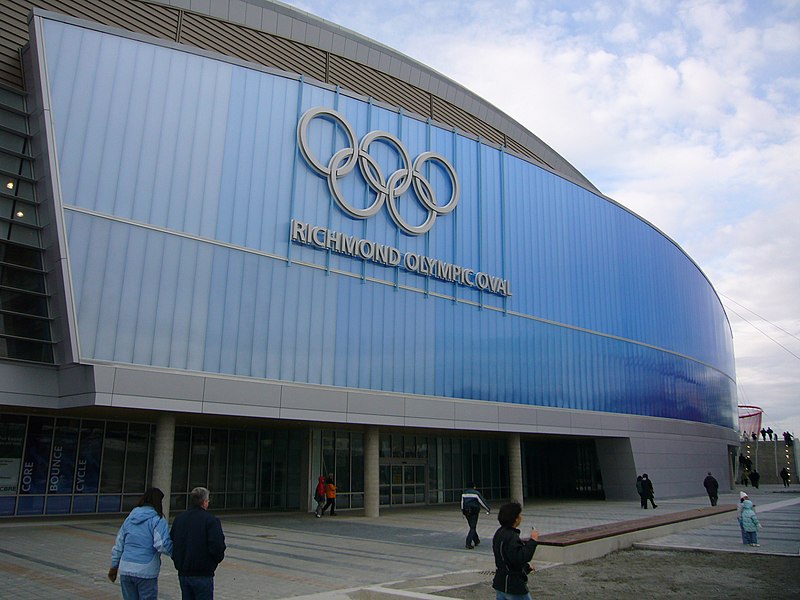
The Richmond Olympic Oval is an indoor multi-sports arena in the Canadian city of Richmond, British Columbia. The oval was built for the 2010 Winter Olympics and was originally configured with a speed skating rink. The venue has since been reconfigured and now serves as a community multi-sport park and includes two ice hockey rinks, two running tracks, a climbing wall, a rowing tank and a flexible area which can be used for, among other sports, basketball, volleyball, indoor soccer and table tennis. ()
Day trips
Richmond Olympic Oval – popular in the area (distance from the attraction)
Nearby attractions include: Minoru Park, Aberdeen Centre, CF Richmond Centre, Lansdowne Centre.
Frequently Asked Questions (FAQ)
Which popular attractions are close to Richmond Olympic Oval?
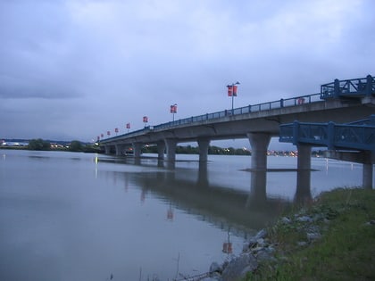
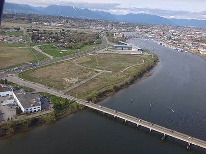
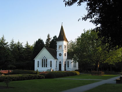
Nearby attractions include Water Sky Garden, Richmond (1 min walk), No. 2 Road Bridge, Richmond (7 min walk), Dinsmore Bridge, Richmond (8 min walk), Minoru Chapel, Richmond (15 min walk).
How to get to Richmond Olympic Oval by public transport?
The nearest stations to Richmond Olympic Oval:
Bus
Metro
Bus
- Westminster Hwy at Elmbridge Way • Lines: 401 (9 min walk)
- Inglis Dr at Airport Rd South • Lines: 412 (9 min walk)
Metro
- Lansdowne • Lines: Canada Line (18 min walk)
- Richmond–Brighouse • Lines: Canada Line (22 min walk)
