Granville Street Bridge, Vancouver
Map

Gallery
Facts and practical information
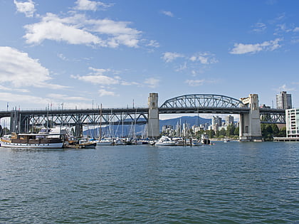
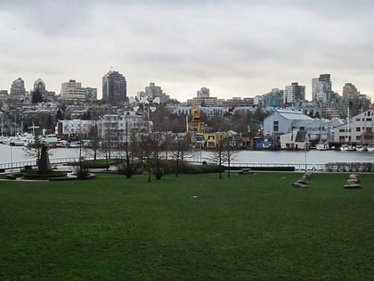
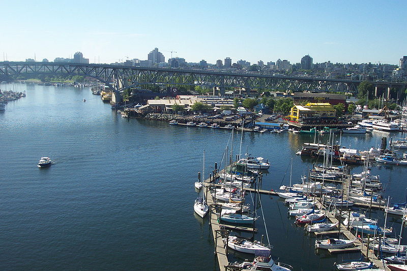
The Granville Street Bridge is an eight lane bridge in Vancouver, British Columbia, bridging Downtown Vancouver southwest to the Fairview neighborhood. It spans False Creek and is 27.4 metres above Granville Island. It is part of Highway 99. ()
Address
Granville StDowntown VancouverVancouver
ContactAdd
Social media
Add
Day trips
Granville Street Bridge – popular in the area (distance from the attraction)
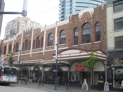
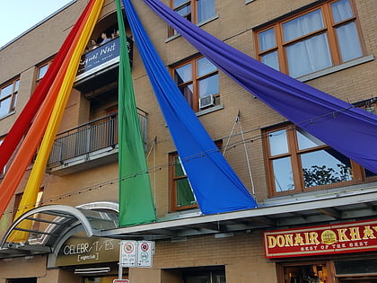
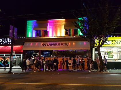
Nearby attractions include: Commodore Ballroom, Celebrities Nightclub, Numbers, Burrard Street Bridge.
Frequently Asked Questions (FAQ)
Which popular attractions are close to Granville Street Bridge?
Nearby attractions include Vancouver House, Vancouver (1 min walk), Seymour Wellness Society, Vancouver (4 min walk), George Wainborn Park, Vancouver (5 min walk), The Bunkhouse, Vancouver (7 min walk).
How to get to Granville Street Bridge by public transport?
The nearest stations to Granville Street Bridge:
Bus
Ferry
Trolleybus
Metro
Train
Bus
- Beach Ave at Howe St • Lines: 23 (2 min walk)
- Burrard St at Pacific St • Lines: 2 (5 min walk)
Ferry
- Hornby Terminal • Lines: Aquabus (4 min walk)
- Granville Island Dock • Lines: False Creek Ferries Route 1, False Creek Ferries Route 2, False Creek Ferries Route 3 (7 min walk)
Trolleybus
- Granville St at Drake St • Lines: 10, 14, 16, 4, 7 (5 min walk)
- Davie St at Howe St • Lines: 6 (7 min walk)
Metro
- Yaletown–Roundhouse • Lines: Canada Line (11 min walk)
- Vancouver City Centre • Lines: Canada Line (20 min walk)
Train
- Waterfront (31 min walk)
 SkyTrain