Maple Leaf Square, Toronto
Map
Gallery
Facts and practical information
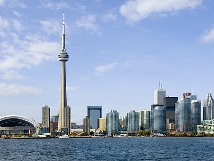
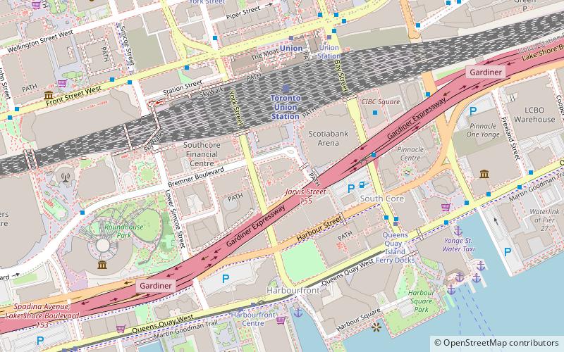
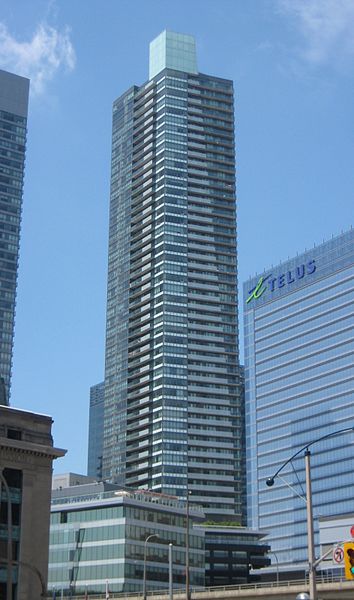
Maple Leaf Square is a multi-use complex and public square located in the South Core neighbourhood of Toronto, Ontario, Canada. It is located to the west of the Scotiabank Arena on the former Railway Lands. The $500 million development was jointly developed by Cadillac Fairview, Lanterra and Maple Leaf Sports & Entertainment, who own the nearby Scotiabank Arena. The complex has 1,800,000 square feet of usable space covering 2.1 acres on one city block. ()
Completed: 2010 (16 years ago)Architectural style: ModernFloors: 54Coordinates: 43°38'33"N, 79°22'50"W
Day trips
Maple Leaf Square – popular in the area (distance from the attraction)
Nearby attractions include: CN Tower, Harbourfront Centre, Hockey Hall of Fame, Air Canada Centre.
Frequently Asked Questions (FAQ)
Which popular attractions are close to Maple Leaf Square?
Nearby attractions include South Core, Toronto (3 min walk), Toronto Harbour Commission Building, Toronto (3 min walk), Ten York, Toronto (3 min walk), Railway Lands, Toronto (4 min walk).
How to get to Maple Leaf Square by public transport?
The nearest stations to Maple Leaf Square:
Train
Bus
Tram
Metro
Ferry
Train
- Toronto Union Station (4 min walk)
Bus
- Lake Shore Boulevard West • Lines: 19 (4 min walk)
- Union Station Bus Terminal (5 min walk)
Tram
- Queens Quay - Island Ferry Docks • Lines: 509, 510A (5 min walk)
- Harbourfront Centre • Lines: 509, 510A (6 min walk)
Metro
- Union • Lines: 1 (6 min walk)
- St. Andrew • Lines: 1 (11 min walk)
Ferry
- Jack Layton Ferry Terminal • Lines: Toronto Island Ferry, Ward's Island (9 min walk)
- Bathurst Street Terminal • Lines: Billy Bishop Airport Ferry (27 min walk)

 Subway
 Streetcar system
 PATH
PATH