Empress Walk, Toronto
Map

Map

Facts and practical information
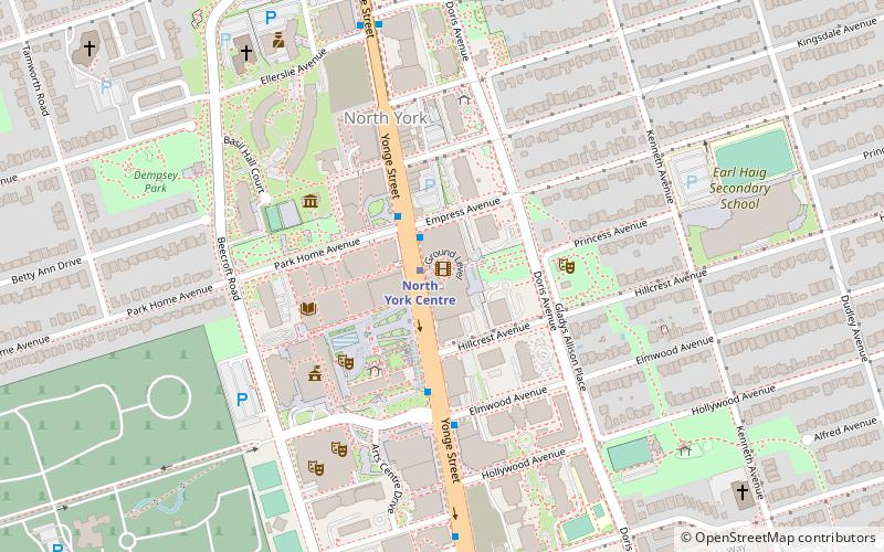
Empress Walk is a large Canadian condominium and retail complex at the intersection of Yonge Street and Empress Avenue in the North York Centre area of North York, Toronto, Ontario, Canada. It was developed by Canadian-developers Menkes Developments Ltd. Phase 1 was completed in 1997 and Phase 2 was completed in 2000. It became an important retail complex in North York following its construction. ()
Completed: 2000 (26 years ago)Floors: 34Coordinates: 43°46'7"N, 79°24'44"W
Day trips
Empress Walk – popular in the area (distance from the attraction)
Nearby attractions include: Olive Square Park, Beth Tikvah Synagogue, Meridian Arts Centre, Mel Lastman Square.
Frequently Asked Questions (FAQ)
When is Empress Walk open?
Empress Walk is open:
- Monday 24h
- Tuesday 24h
- Wednesday 24h
- Thursday 24h
- Friday 24h
- Saturday 24h
- Sunday 24h
Which popular attractions are close to Empress Walk?
Nearby attractions include Mel Lastman Square, Toronto (3 min walk), North York Central Library, Toronto (4 min walk), Gibson House, Toronto (4 min walk), North York Civic Centre, Toronto (4 min walk).
How to get to Empress Walk by public transport?
The nearest stations to Empress Walk:
Metro
Bus
Metro
- North York Centre • Lines: 1 (1 min walk)
- Sheppard-Yonge • Lines: 1, 4 (13 min walk)
Bus
- Yonge Street at Hillcrest Avenue • Lines: 67 (1 min walk)
- Yonge Street at North York Boulevard • Lines: 19C, 27, 27A, 27C, 27F, 32, 32A, 32B, 34, 67, 92A, 96, 96B, 96C, 96D, 97B, 97C (3 min walk)

 Subway
 Streetcar system
 PATH
PATH


