North York Civic Centre, Toronto
Map

Map

Facts and practical information
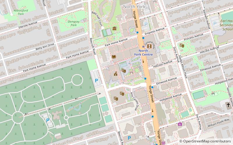
The North York Civic Centre is a municipal government building in Toronto, Ontario, Canada. It opened in 1979 as the city hall of the former city of North York. It is located in North York City Centre. ()
Completed: 1979 (47 years ago)Floors: 7Coordinates: 43°46'2"N, 79°24'53"W
Day trips
North York Civic Centre – popular in the area (distance from the attraction)
Nearby attractions include: Olive Square Park, Beth Tikvah Synagogue, Meridian Arts Centre, Mel Lastman Square.
Frequently Asked Questions (FAQ)
Which popular attractions are close to North York Civic Centre?
Nearby attractions include North York Central Library, Toronto (2 min walk), Mel Lastman Square, Toronto (2 min walk), Meridian Arts Centre, Toronto (3 min walk), Gibson House, Toronto (5 min walk).
How to get to North York Civic Centre by public transport?
The nearest stations to North York Civic Centre:
Bus
Metro
Bus
- Yonge Street at North York Boulevard • Lines: 19C, 27, 27A, 27C, 27F, 32, 32A, 32B, 34, 67, 92A, 96, 96B, 96C, 96D, 97B, 97C (3 min walk)
- Yonge Street at Hillcrest Avenue • Lines: 67 (3 min walk)
Metro
- North York Centre • Lines: 1 (4 min walk)
- Sheppard-Yonge • Lines: 1, 4 (12 min walk)

 Subway
 Streetcar system
 PATH
PATH


