Mooney's Bay Park, Ottawa
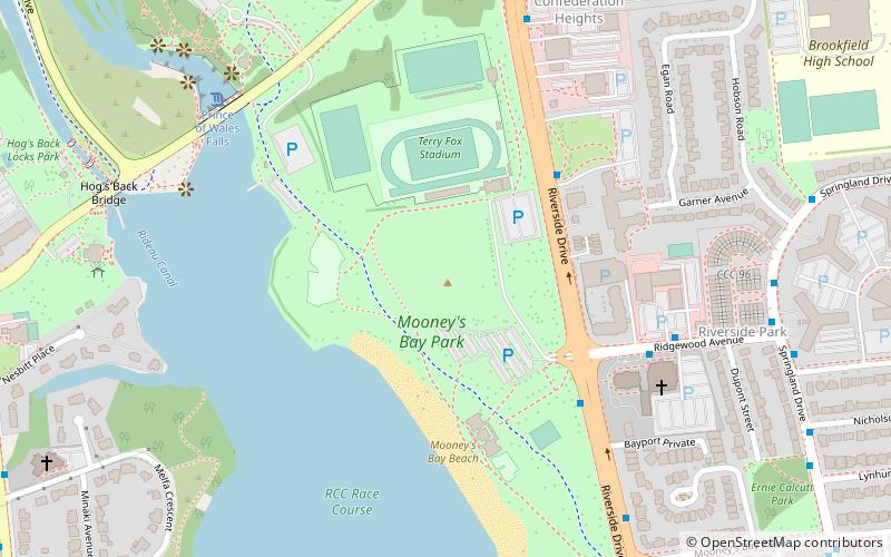
Map
Gallery
Facts and practical information
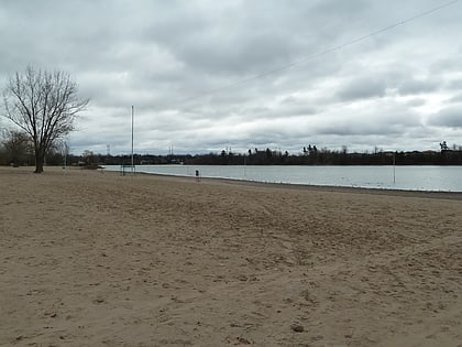
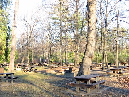
Mooney's Bay Park is a public park in Ottawa, Ontario, Canada on the Rideau River. Its main entrance is on Riverside Drive, opposite Ridgewood Avenue, but can also be accessed from Hog's Back Road. ()
Elevation: 282 ft a.s.l.Coordinates: 45°22'7"N, 75°41'32"W
Day trips
Mooney's Bay Park – popular in the area (distance from the attraction)
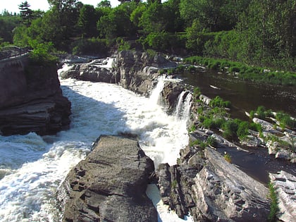
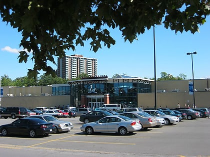
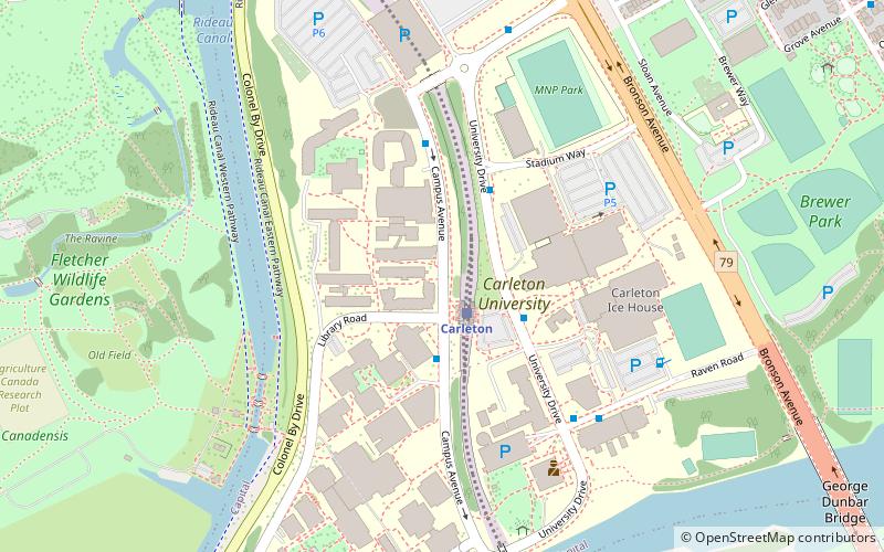
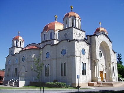
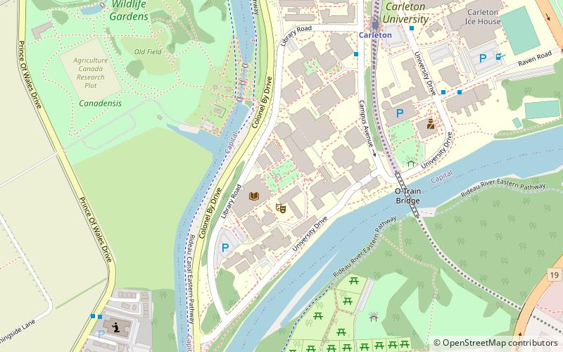
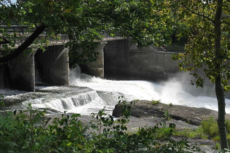
Nearby attractions include: Hog's Back Falls, Billings Bridge Plaza, Carleton University Art Gallery, St. Elias Antiochian Orthodox Cathedral.
Frequently Asked Questions (FAQ)
Which popular attractions are close to Mooney's Bay Park?
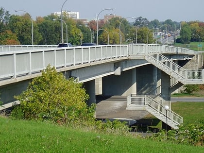
Nearby attractions include St. Elias Antiochian Orthodox Cathedral, Ottawa (6 min walk), Hog's Back Falls, Ottawa (7 min walk), Hog's Back Bridge, Ottawa (10 min walk), Sir Charles Tupper Building, Ottawa (12 min walk).
How to get to Mooney's Bay Park by public transport?
The nearest stations to Mooney's Bay Park:
Bus
Bus
- St. Patrick's Home • Lines: 190 (4 min walk)
- Riverside / Ridgewood • Lines: 90 (5 min walk)
