Pauline Vanier Park, Ottawa
Map
Gallery
Facts and practical information
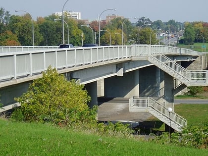
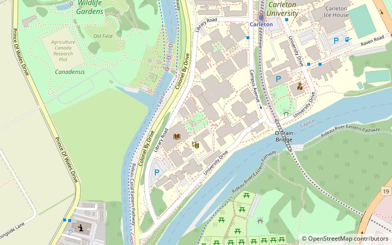
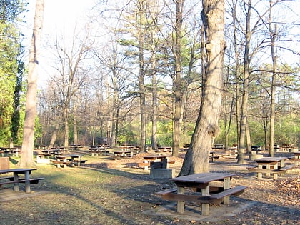
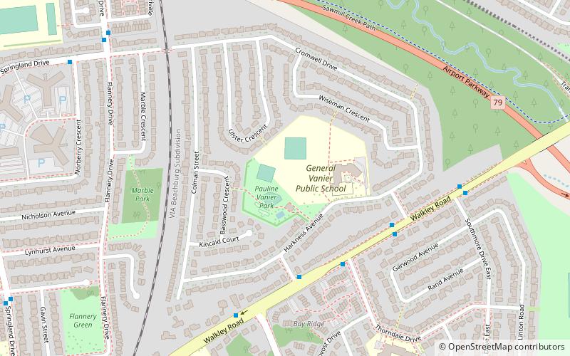
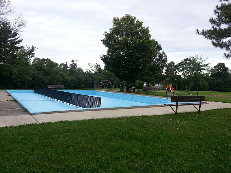
Pauline Vanier Park is a public park in Ottawa's Riverside Park area, located on Harkness Avenue. It is named after Pauline Vanier. ()
Elevation: 262 ft a.s.l.Coordinates: 45°22'3"N, 75°40'35"W
Address
975-1045 Harkness AveRiverside ParkOttawa K1V 6P2
ContactAdd
Social media
Add
Day trips
Pauline Vanier Park – popular in the area (distance from the attraction)
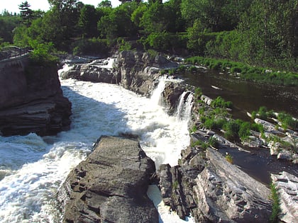
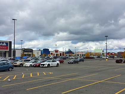
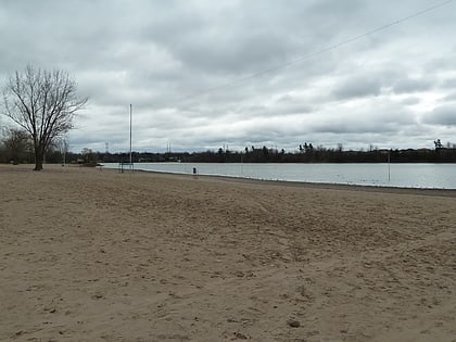
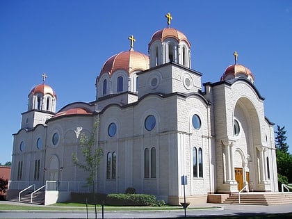
Nearby attractions include: Hog's Back Falls, South Keys Shopping Centre, Mooney's Bay Park, St. Elias Antiochian Orthodox Cathedral.
Frequently Asked Questions (FAQ)
Which popular attractions are close to Pauline Vanier Park?
Nearby attractions include Walkley station, Ottawa (12 min walk), St. Elias Antiochian Orthodox Cathedral, Ottawa (15 min walk), Mooney's Bay Park, Ottawa (20 min walk), Ellwood, Ottawa (23 min walk).
How to get to Pauline Vanier Park by public transport?
The nearest stations to Pauline Vanier Park:
Bus
Bus
- Walkley / Wexford • Lines: 92 (4 min walk)
- Walkley / Mccarthy • Lines: 290 (6 min walk)

