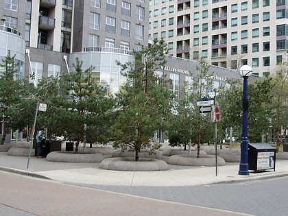
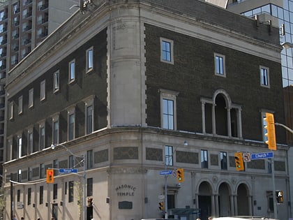
Church of the Messiah, Toronto
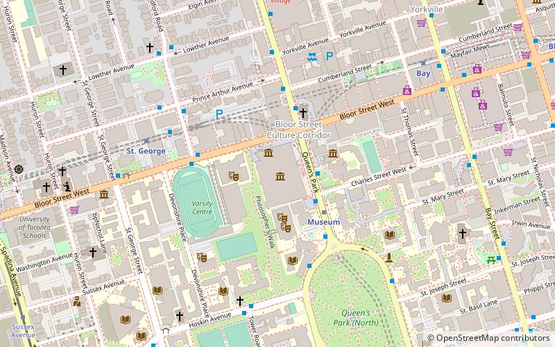
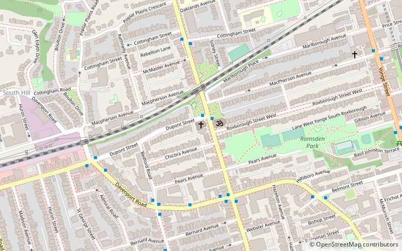
Map
Gallery
Facts and practical information
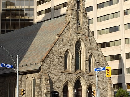
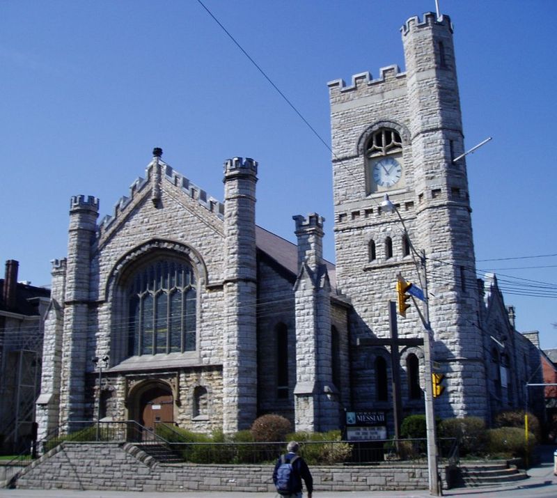
The Church of the Messiah is an Anglican church in Toronto, Ontario, Canada. It is located at 240 Avenue Road, on the corner of Dupont Street. The church was founded on March 24, 1891, by members of the Church of the Redeemer further south on Avenue Road. The building was designed by Gordon & Helliwell, along with a rectory next door. ()
Coordinates: 43°40'37"N, 79°23'52"W
Day trips
Church of the Messiah – popular in the area (distance from the attraction)
Nearby attractions include: Royal Ontario Museum, Mink Mile, Casa Loma, Spadina House.
Frequently Asked Questions (FAQ)
Which popular attractions are close to Church of the Messiah?
Nearby attractions include Hare Krishna Temple, Toronto (1 min walk), Avenue Road Church, Toronto (2 min walk), Royal Vancouver Yacht Club, Toronto (5 min walk), Ramsden Park, Toronto (7 min walk).
How to get to Church of the Messiah by public transport?
The nearest stations to Church of the Messiah:
Bus
Metro
Tram
Bus
- Avenue Road • Lines: 19 (5 min walk)
- Davenport Road • Lines: 19 (5 min walk)
Metro
- Rosedale • Lines: 1 (13 min walk)
- Dupont • Lines: 1 (13 min walk)
Tram
- Avenue Road • Lines: 512 (18 min walk)
- Deer Park • Lines: 512 (19 min walk)
 Subway
 Streetcar system
 PATH
PATH
