Yorkville, Toronto
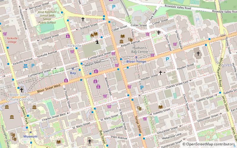
Map
Gallery
Facts and practical information
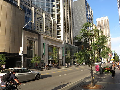
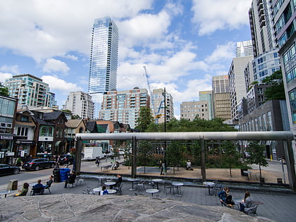
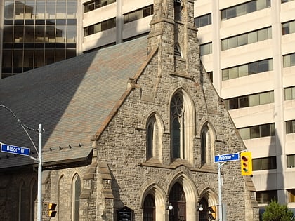
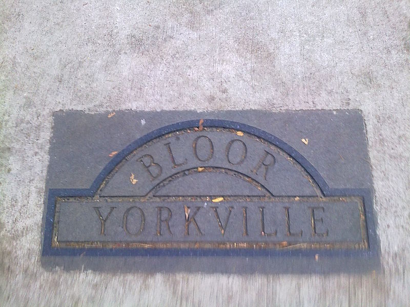
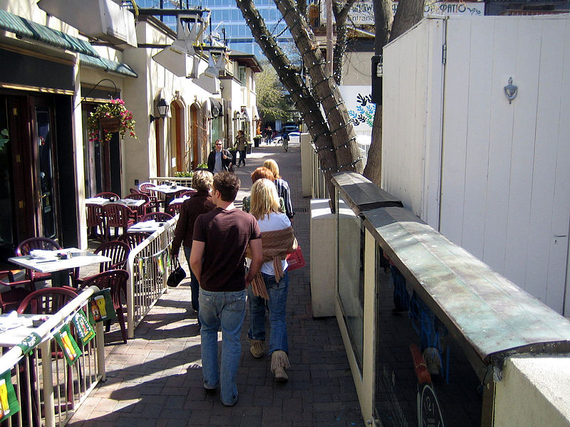
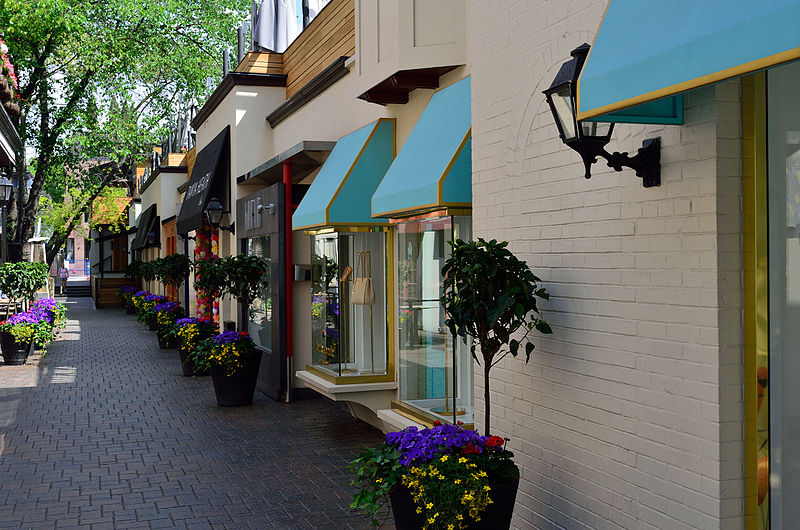
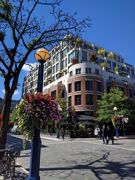
Yorkville is a neighbourhood and former village in Toronto, Ontario, Canada. It is roughly bounded by Bloor Street to the south, Davenport Road to the north, Yonge Street to the east and Avenue Road to the west, and it is considered part of "The Annex" neighbourhood officially. Established as a separate community in 1830, it was annexed into Toronto in 1883. Yorkville is diverse and comprises residential areas, office space, and an array of shopping options. ()
Day trips
Yorkville – popular in the area (distance from the attraction)
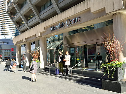
Nearby attractions include: Royal Ontario Museum, Mink Mile, Manulife Centre, Philosopher's Walk.
Frequently Asked Questions (FAQ)
Which popular attractions are close to Yorkville?
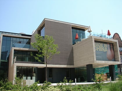
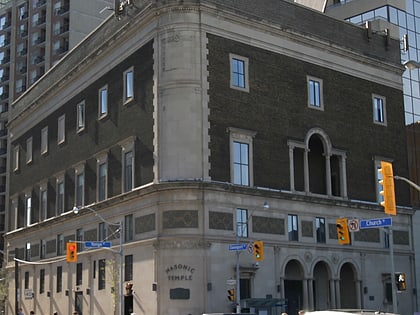
Nearby attractions include Mideastro Yorkville, Toronto (3 min walk), Masonic Temple, Toronto (4 min walk), Toronto Public Library, Toronto (5 min walk), Toronto Reference Library, Toronto (5 min walk).
How to get to Yorkville by public transport?
The nearest stations to Yorkville:
Bus
Metro
Tram
Bus
- Bloor Street West • Lines: 19 (3 min walk)
- Davenport Road • Lines: 19 (3 min walk)
Metro
- Bay • Lines: 2 (3 min walk)
- Bloor-Yonge • Lines: 1, 2 (6 min walk)
Tram
- Spadina Station • Lines: 510A, 510B, 510C (19 min walk)
- Bay Street • Lines: 306, 506 (20 min walk)


 Subway
 Streetcar system
 PATH
PATH
