Rouge National Urban Park, Toronto
Map
Gallery
Facts and practical information
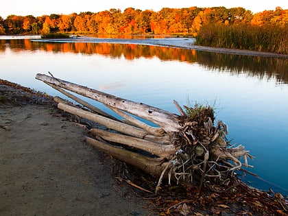
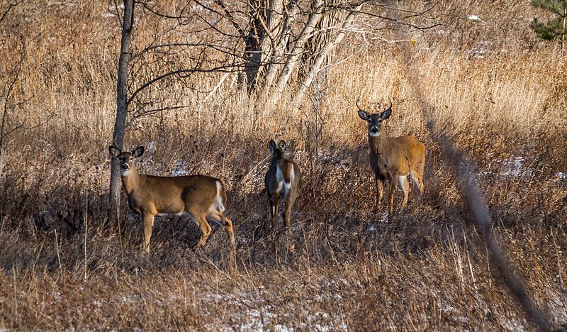
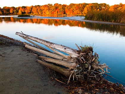
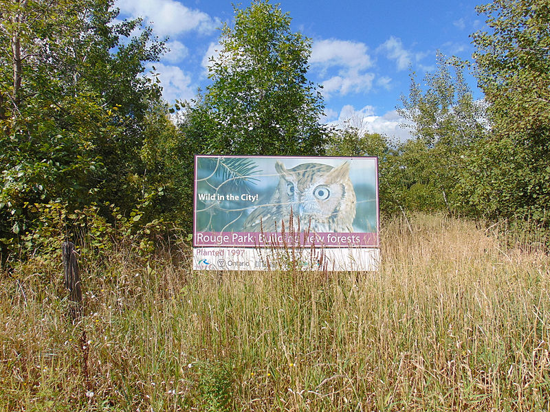
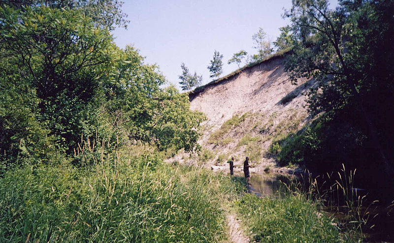
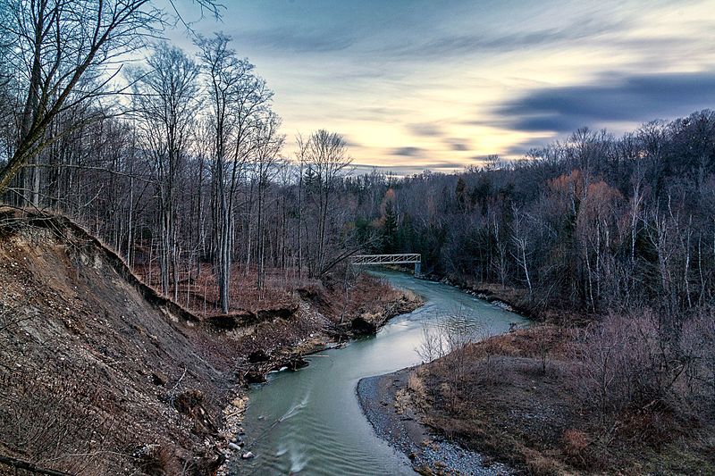
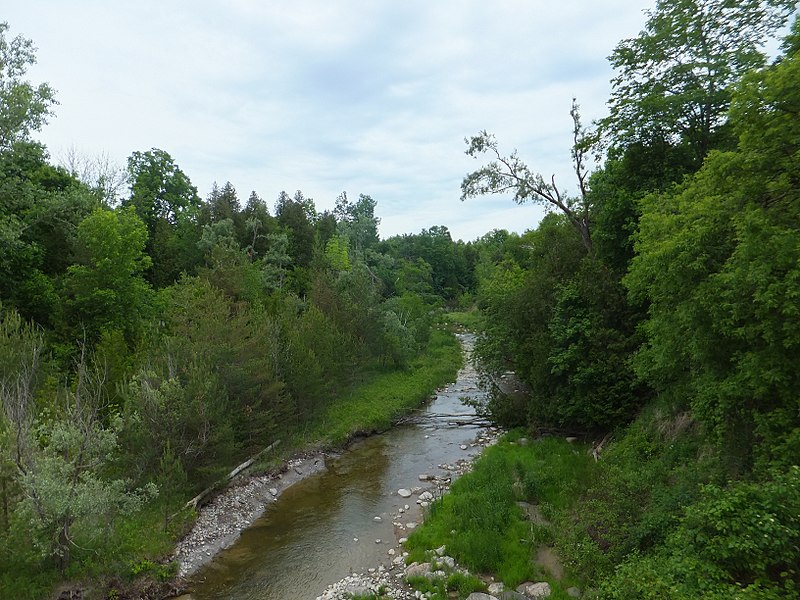
Rouge National Urban Park is a national urban park in Ontario, Canada. The park is centred around the Rouge River and its tributaries in the Greater Toronto Area. The southern portion of the park is situated around the mouth of river, in Scarborough, and extends northwards into Markham, Pickering, Uxbridge, and Whitchurch-Stouffville. ()
Alternative names: Created: 15 May 2015Area: 7.24 mi²Elevation: 466 ft a.s.l.Coordinates: 43°49'14"N, 79°10'58"W
Address
Scarborough (Rouge)Toronto
ContactAdd
Social media
Add
Day trips
Rouge National Urban Park – popular in the area (distance from the attraction)
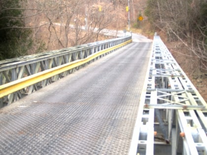
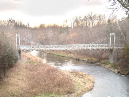
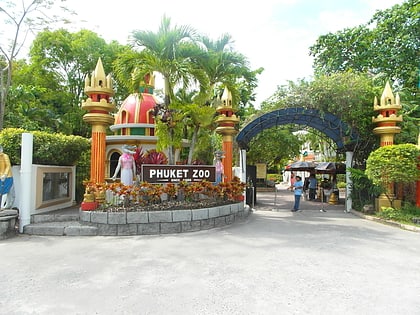
Nearby attractions include: Toronto Zoo, Old Finch Avenue Bailey Bridge, Sewells Road Bridge, Phuket Zoo.
Frequently Asked Questions (FAQ)
Which popular attractions are close to Rouge National Urban Park?
Nearby attractions include Phuket Zoo, Toronto (1 min walk), Toronto Zoo, Toronto (5 min walk), Rouge National Park, Toronto (14 min walk), Old Finch Avenue Bailey Bridge, Toronto (20 min walk).
How to get to Rouge National Urban Park by public transport?
The nearest stations to Rouge National Urban Park:
Bus
Bus
- Main Station • Lines: Zoomobile (2 min walk)
- Africa • Lines: Zoomobile (6 min walk)



 Subway
 Streetcar system
 PATH
PATH
