Old Finch Avenue Bailey Bridge, Toronto
Map
Map

Facts and practical information
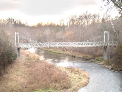
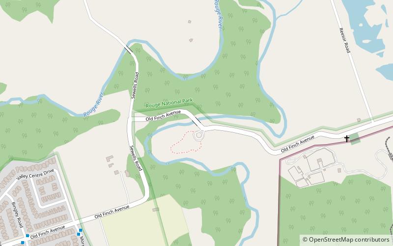
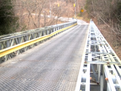
The Old Finch Avenue bridge is a Bailey bridge in Toronto. The Finch bridge is used for limited vehicular traffic on Old Finch Avenue in north-east Toronto to cross the Rouge River. The bridge dates back to late October 1954; it was constructed by the Canadian Army in three working days using bridge components from the Ontario Hydro-Electric Power Commission, after Hurricane Hazel destroyed the old one. This bridge was built for single traffic; it is now controlled by traffic lights. ()
Opened: 1954 (72 years ago)Length: 131 ftCoordinates: 43°49'31"N, 79°11'48"W
Day trips
Old Finch Avenue Bailey Bridge – popular in the area (distance from the attraction)
Nearby attractions include: Toronto Zoo, Sewells Road Bridge, Phuket Zoo, Rouge National Urban Park.
Frequently Asked Questions (FAQ)
Which popular attractions are close to Old Finch Avenue Bailey Bridge?
Nearby attractions include Sewells Road Bridge, Toronto (6 min walk), Toronto Zoo, Toronto (17 min walk), Rouge National Urban Park, Toronto (20 min walk), Phuket Zoo, Toronto (20 min walk).
How to get to Old Finch Avenue Bailey Bridge by public transport?
The nearest stations to Old Finch Avenue Bailey Bridge:
Bus
Bus
- Africa • Lines: Zoomobile (15 min walk)
- Domain Hill • Lines: Zoomobile (16 min walk)
 Subway
 Streetcar system
 PATH
PATH
